🌍 Public
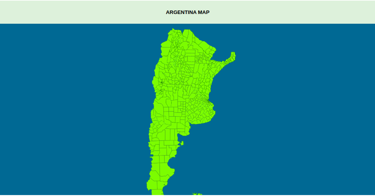
Argentine map
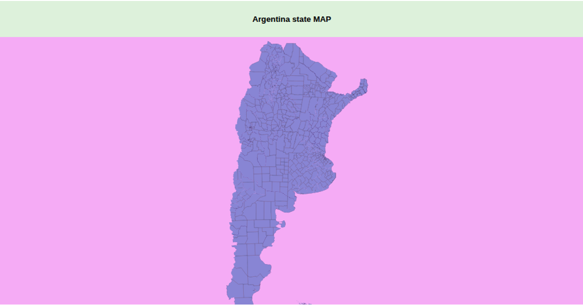
This example visualizes the departments of Argentina as a choropleth-style map with distinct teal land areas and gray graticules. The map uses a transverse Mercator projection centered on the country, implemented with `d3.geoTransverseMercator` and `d3.geoPath`, and renders geographic features as SVG paths. Data comes from a TopoJSON file of Argentine departments, converted to GeoJSON using `topojson.feature`. The React component manages projection setup through `d3.select` and renders the map reactively once data loads, with styling applied via CSS classes.
AI-generated descriptionA world map showing country boundaries from World Atlas TopoJSON, polished for visual style, including graticules.
MIT Licensed





Comments
Sign in to join the discussion.