🌍 Public
Argentina Map
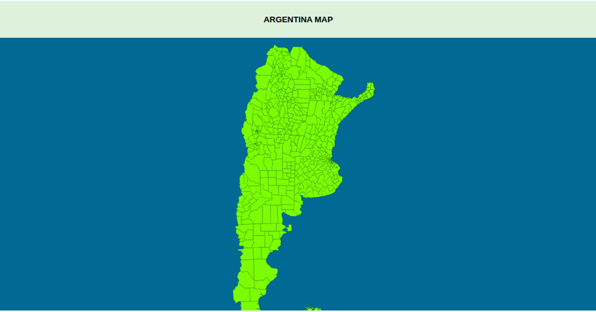
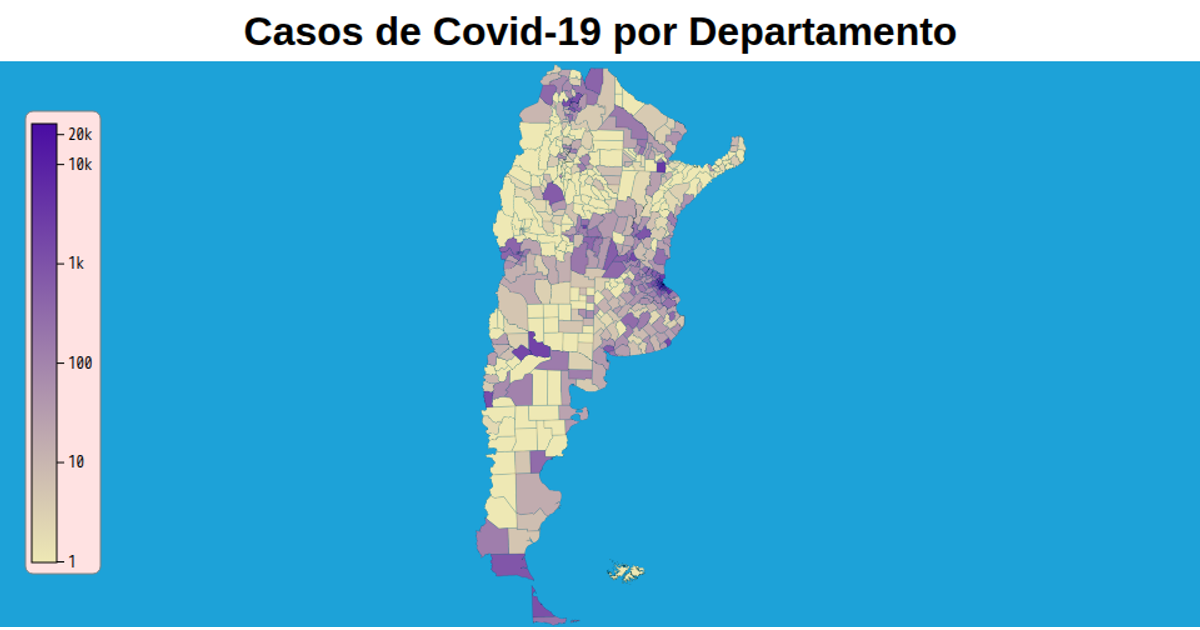
A Choropleth-free map of Argentina displays all departmental boundaries, colored with a solid red fill and blue ocean background, with hover effects turning regions pink. The visualization uses a Transverse Mercator projection via `d3.geoTransverseMercator`, rendered through `d3.geoPath` into SVG. TopoJSON data from the departamentos_argentina GitHub repository feeds the paths, while `d3.zoom` enables pan and zoom interactions.
AI-generated descriptionMIT Licensed




Comments
Sign in to join the discussion.