🌍 Public
Anv_ICE8_Argentina_(Topojson)
AAnvesh Chinta
Last edited Apr 13, 2023
Created on Apr 12, 2023
Forked from Choropleth Map Argentina Dptos Corona (Topojson)
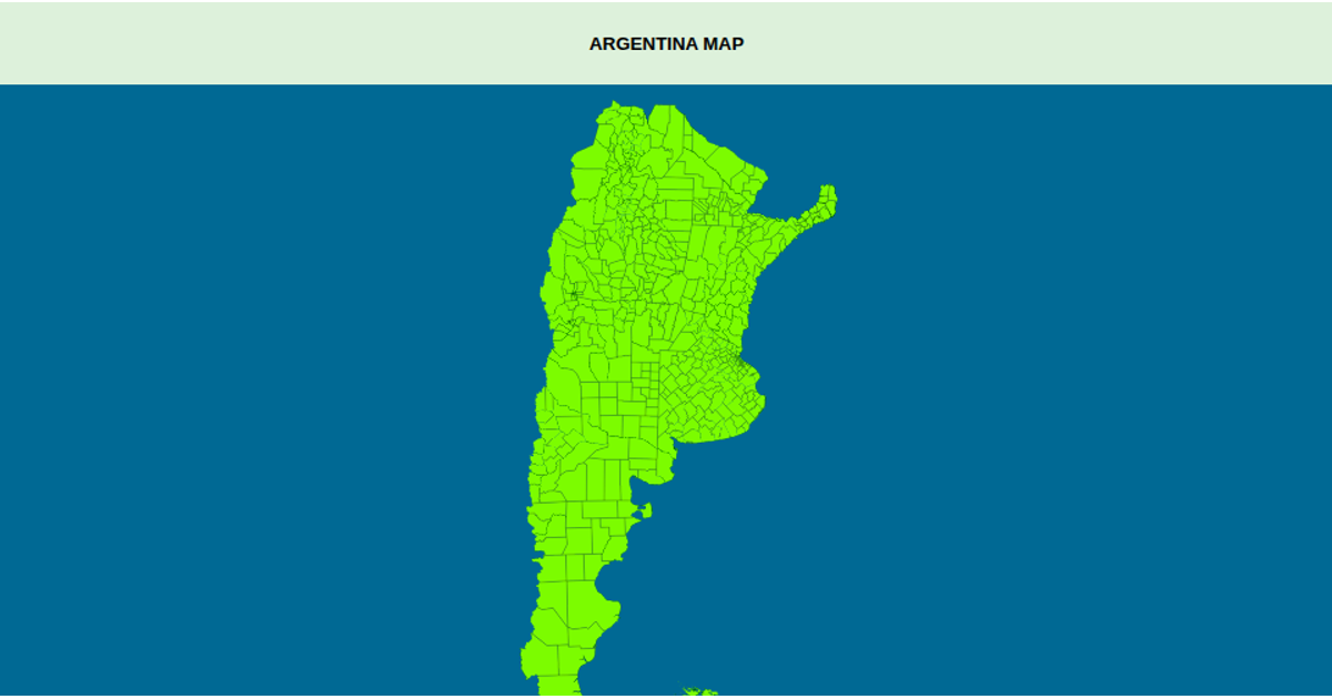
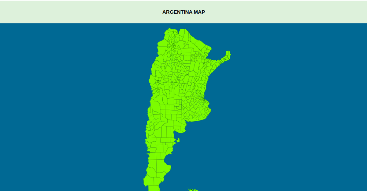
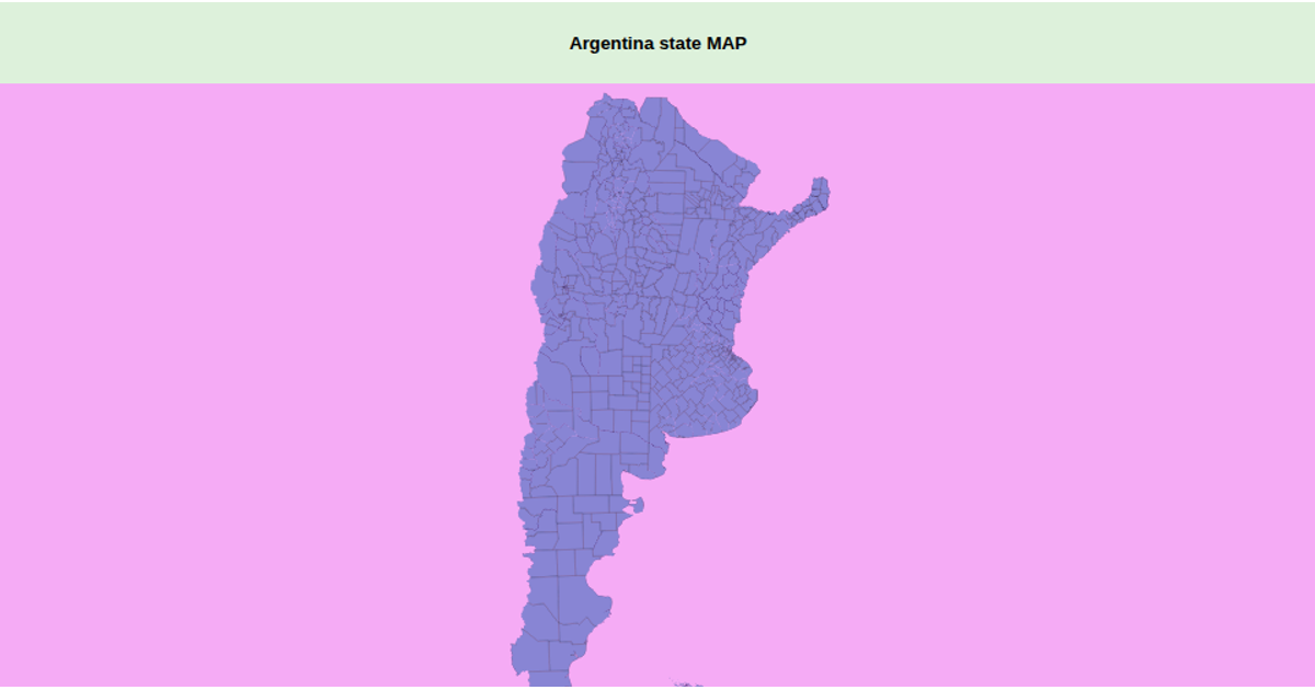
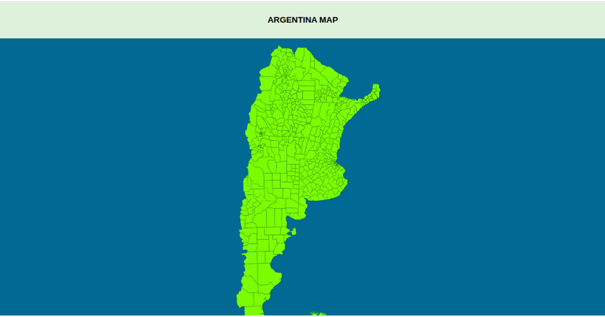
This example displays a choropleth-style map of Argentina’s provinces and departments, rendered with a Transverse Mercator projection and interactive zoom. The map shows administrative boundaries filled in green, with a title tooltip revealing each department’s name and province on hover. It uses D3’s `geoPath`, `geoTransverseMercator`, and `zoom` APIs, along with TopoJSON’s `feature` method, to load and draw geographic data from a GitHub-hosted JSON file. The SVG output includes a styled ocean sphere and country paths.
AI-generated descriptionArgentina Map
MIT Licensed



Comments
Sign in to join the discussion.