🌍 Public
Fork of Cheap Tricks for Interaction
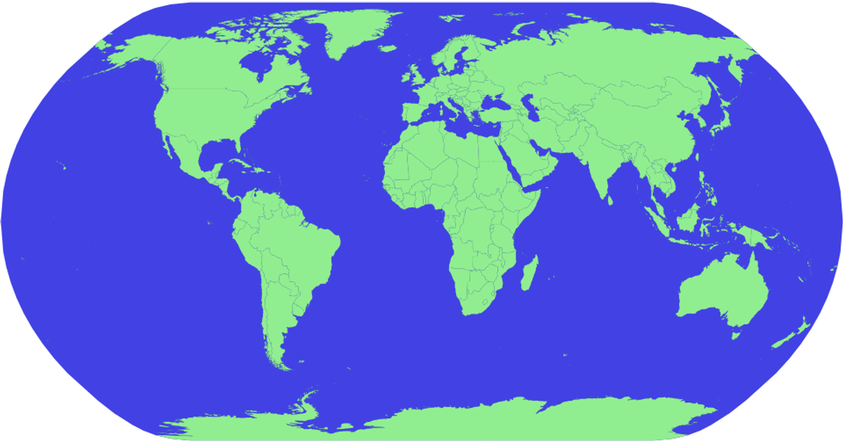
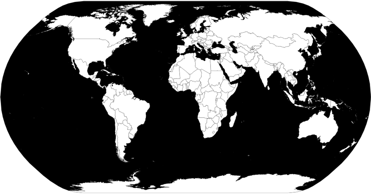
This fork demonstrates interactive map exploration using a zoomable, hover-highlighted world map rendered with SVG. It visualizes country boundaries from the World Atlas TopoJSON dataset, projected using d3.geoNaturalEarth1 and drawn with d3.geoPath. The code uses d3.zoom to enable pan and zoom transformations, and CSS :hover styling turns countries red. A title tooltip displays each country’s name, sourced from the accompanying TSV file and matched by ISO numeric ID.
AI-generated descriptionMIT Licensed




Comments
Sign in to join the discussion.