🌍 Public
Fork of Cheap Tricks for Interaction
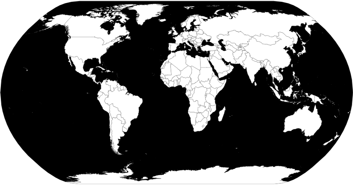
This fork demonstrates interactive zooming and panning on a world map, with country names shown on hover. The visualization renders countries using D3’s geo projection and path generation (`d3.geoProjection`, `d3.geoPath`), with geographic data from the world-atlas package. D3’s zoom behavior (`d3.zoom`) is called to handle transforms on the SVG group. Country boundaries are styled in CSS and change color on hover, with tooltips populated from the accompanying TSV file.
AI-generated descriptionMIT Licensed




Comments
Sign in to join the discussion.