🌍 Public
Fork of Cheap Tricks for Interaction
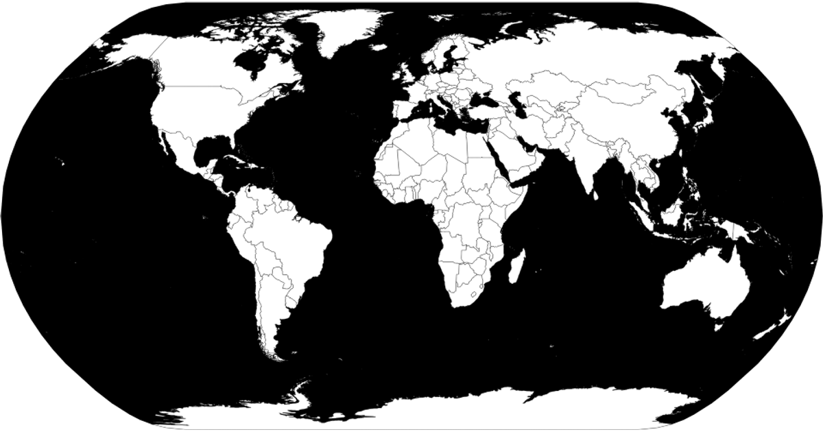
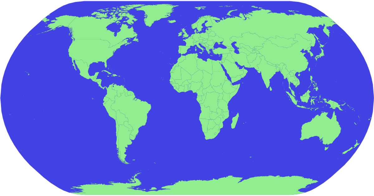
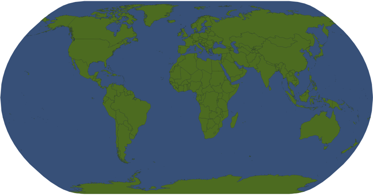
A fork of a D3.js interaction example displays a world map using the Natural Earth projection with countries rendered as SVG paths. The visualization loads geographic data from the `world-atlas` package, merging country names from a TSV file with geometry from a TopoJSON file. Pan and zoom interactions are handled by `d3.zoom` with the `event.transform` updating the map group. Hovering highlights countries in red via CSS, and tooltips show country names using `d3.geoPath` for projection and the `.title` element.
AI-generated descriptionMIT Licensed





Comments
Sign in to join the discussion.