🌍 Public
Fork of Cheap Tricks for Interaction
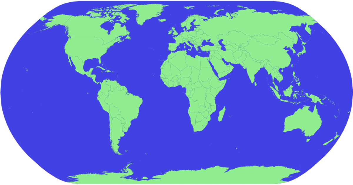
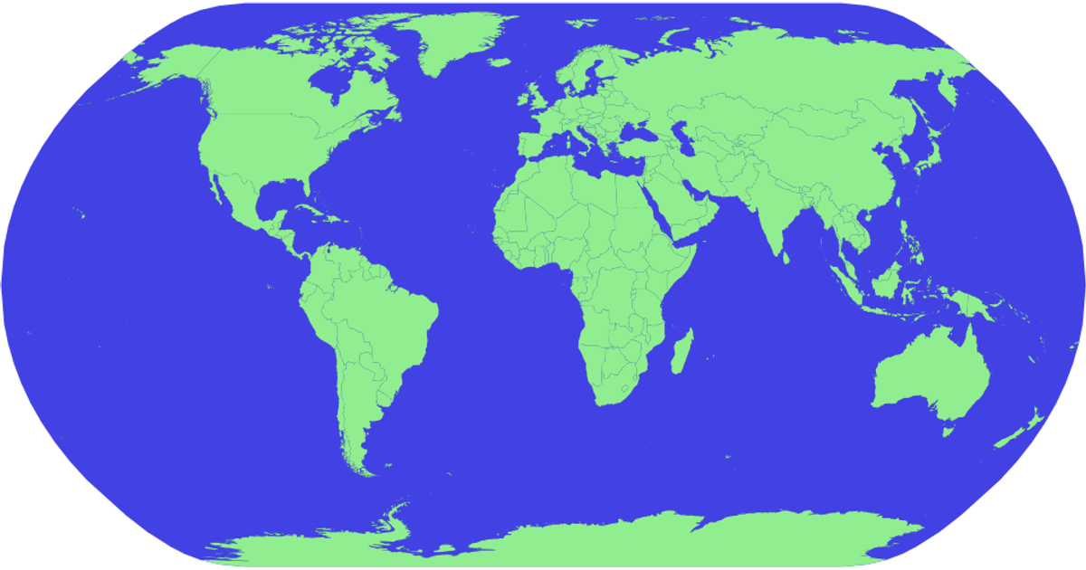
This example shows a world map rendered with D3 v5, displaying countries as light green shapes on a blue sphere. Users can pan and zoom the map with mouse or touch input. The map loads geographic data from a TopoJSON world-atlas file, then draws it using an SVG path generator with a natural Earth projection. Country names are matched from TSV metadata and shown as tooltips. The implementation uses `d3.zoom`, `d3.geoPath`, and `d3.geoNaturalEarth1`, with hover effects changing country fill color via CSS.
AI-generated descriptionMIT Licensed


Comments
Sign in to join the discussion.