🌍 Public
Fork of Cheap Tricks for Interaction
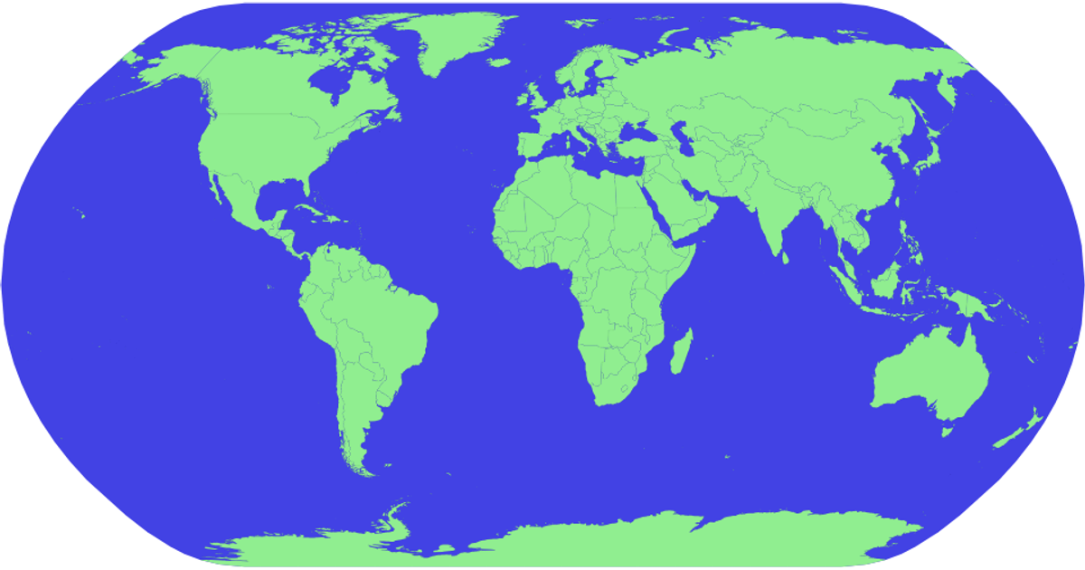
This fork of the "Cheap Tricks for Interaction" example displays world countries on an orthographic projection, colored by continent using an ordinal color scale. The map is built with `d3.geoPath` and data from `world-atlas`, with country names from a matching TSV file. A custom drag interaction, implemented via `d3.drag`, allows users to move a temporary green rectangle across the screen, while the underlying sphere rotation code remains commented out.
AI-generated descriptionMIT Licensed




Comments
Sign in to join the discussion.