🌍 Public
Salem Map
Vvigneswaran009
Last edited May 14, 2021
Created on May 14, 2021
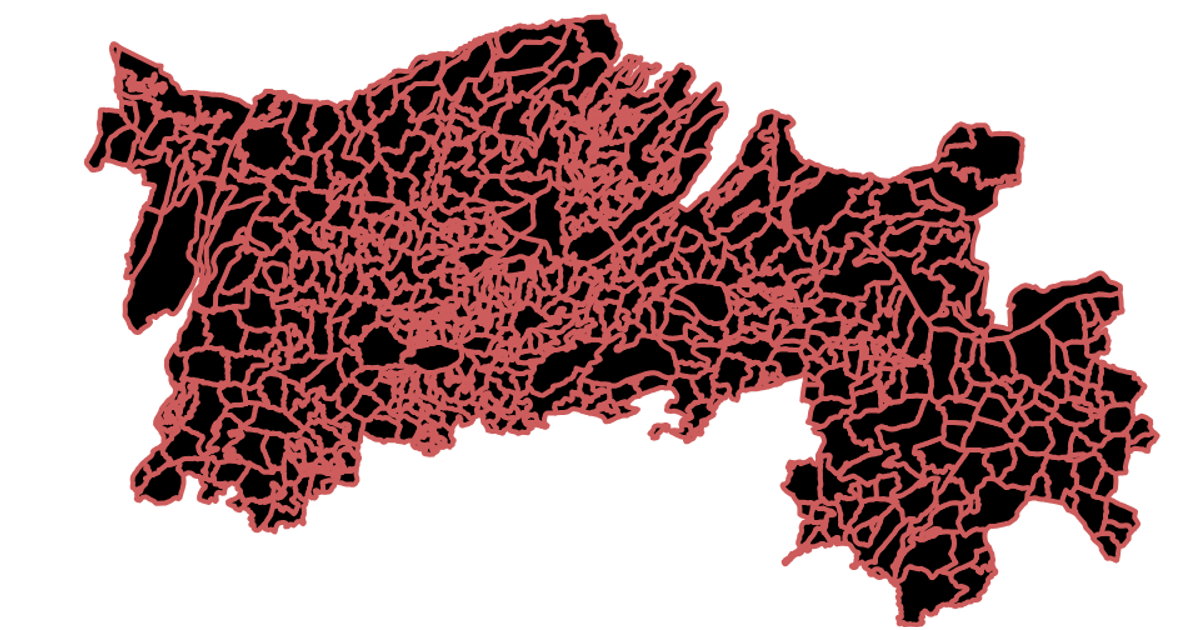
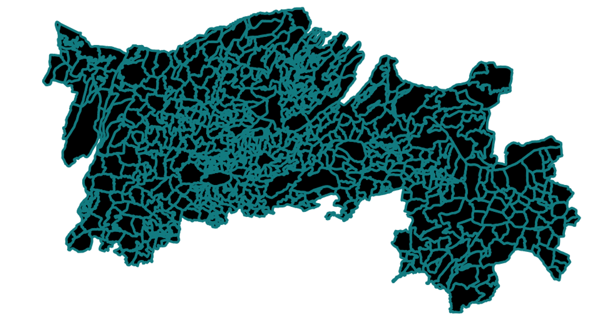
This example displays a map of Salem, India, rendered as SVG paths using the React framework and D3's `geoMercator` projection and `geoPath` function. The visualization loads geographic data from a TopoJSON file hosted on GitHub, converting it to GeoJSON with the `feature` method from topojson. The map is drawn with a green stroke color, and the code includes a loading state while the data is fetched asynchronously.
AI-generated descriptionA scatter plot of Data Canvas Sense Your City Dataset.
MIT Licensed



Comments
Sign in to join the discussion.