🌍 Public
Fork of Fork of Salem Map
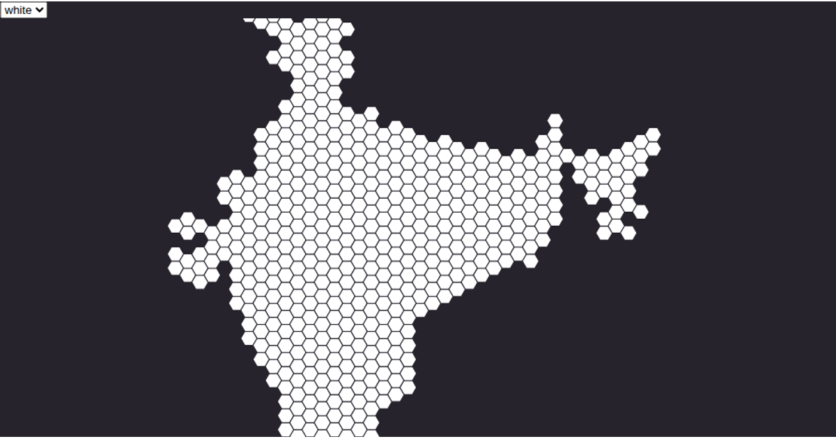
This choropleth map displays the geographic boundaries of Salem, India, with countries filled in teal and interior borders highlighted in red. The visualization uses a React component structure with D3 v5’s `geoMercator` projection and `geoPath` to render SVG paths from TopoJSON data. The data is loaded from a GitHub gist containing Salem’s map topology, processed via `feature` and `mesh` from TopoJSON. The map is static with no interactive elements, emphasizing clear regional divisions.
AI-generated descriptionA scatter plot of Data Canvas Sense Your City Dataset.
MIT Licensed




Comments
Sign in to join the discussion.