🌍 Public
Fork of Fork of Choropleth Map Argentina Dptos Corona (Topojson)
Llai1737
Last edited Feb 24, 2022
Created on Feb 24, 2022
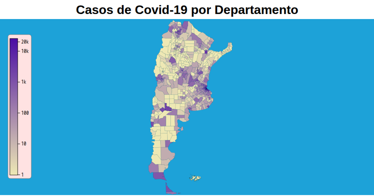
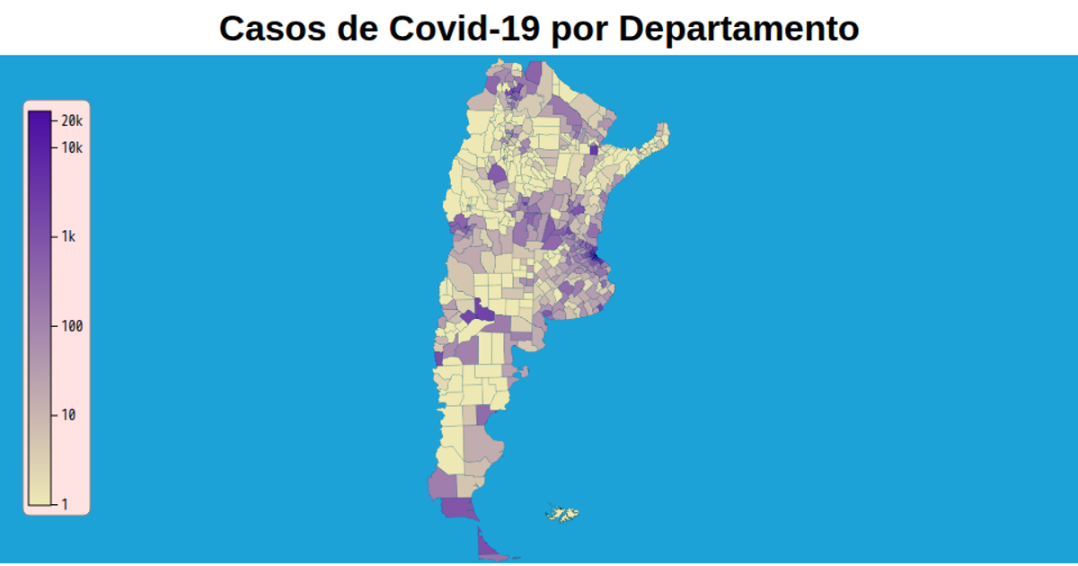
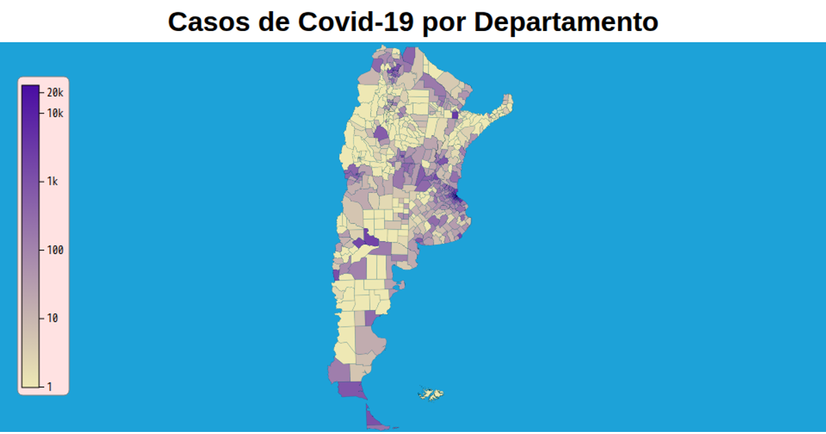
This choropleth map shows confirmed COVID-19 cases per department in Argentina, with a logarithmic color scale from light yellow to deep purple, a custom legend, and a zoomable view. It renders SVG paths using `d3.geoPath` with a `geoTransverseMercator` projection, and loads TopoJSON data from a GitHub repository. The visualization uses D3 v5, `d3-geo-projection.v2`, `topojson`, and a linear gradient for the color bar, with tooltips via appended `title` elements.
AI-generated descriptionVersion 70mb más liviana (77.8mb vs 6.3mb)
MIT Licensed




Comments
Sign in to join the discussion.