🌍 Public
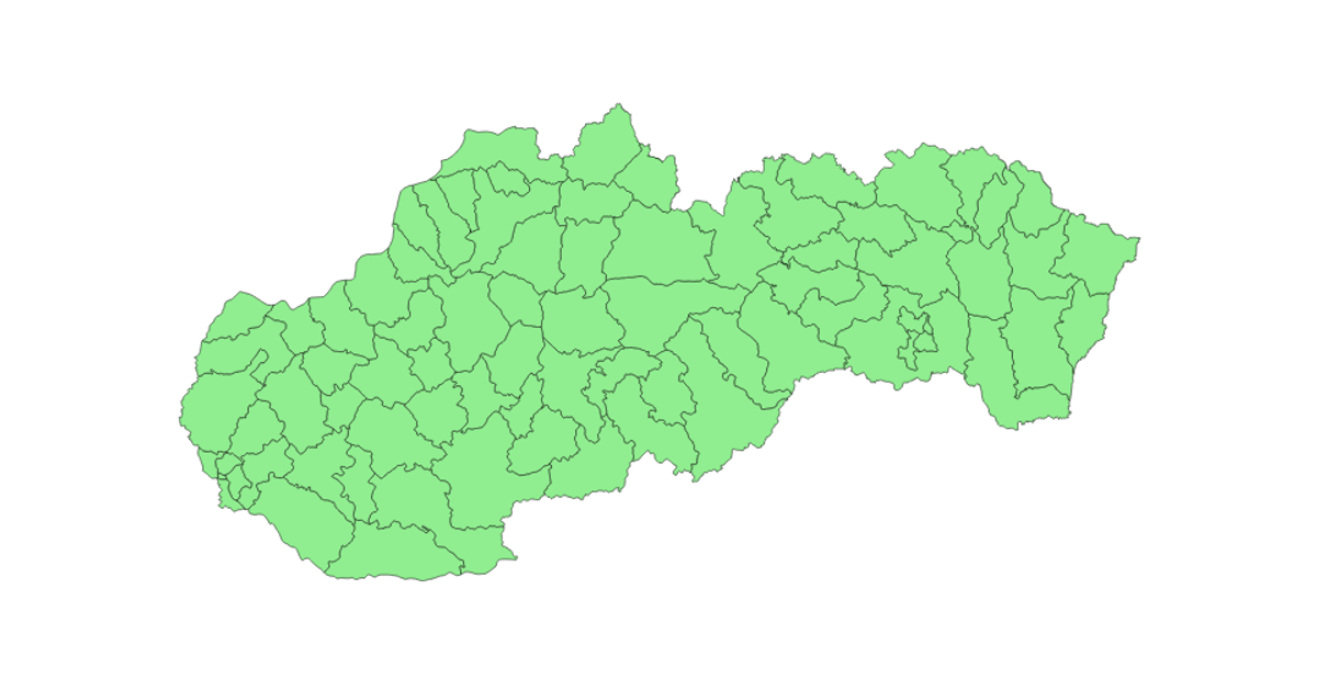
lets make a Map of Slovakia
This example displays a map of Slovakia using a dark blue spherical backdrop and light green country boundaries. It loads world TopoJSON data, converts it to GeoJSON, and renders the paths with an SVG projection. The code uses `d3.geoMercator`, `d3.geoPath`, and `topojson.feature` to position and draw the geometry. It also demonstrates asynchronous data loading via a Promise that simulates fetching car records, then formats and filters them into a text report shown on the page.
AI-generated descriptionAn example showing the capabilities of VizHub.
MIT Licensed




Comments
Sign in to join the discussion.