🌍 Public
Fork of Fork of Waste-Aggregation by gates
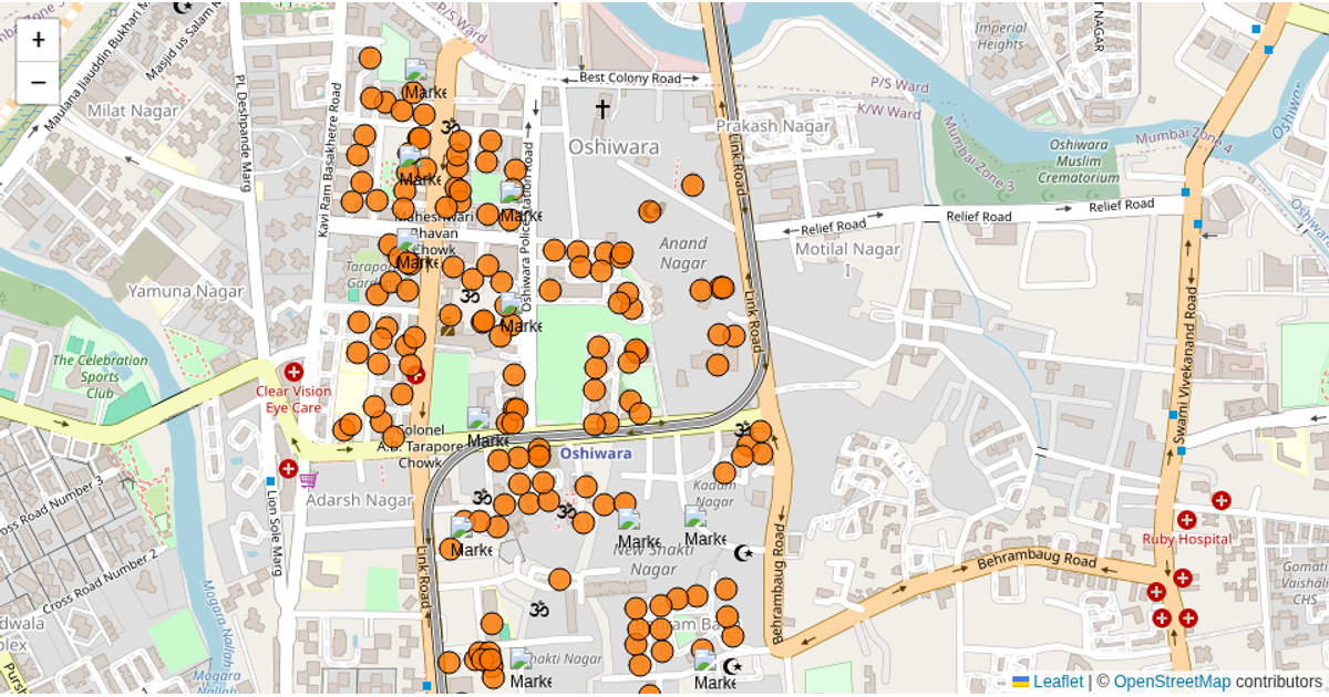
This interactive map visualizes waste aggregation for ward 61 in Mumbai, overlaying building-level dry/wet waste data and population from a GeoServer WFS feed onto an OpenStreetMap basemap using Leaflet. The visualization distinguishes buildings linked to specific waste-collection gates, coloring those associated with a selected gate black while others remain orange. D3.js fetches the GeoJSON building, gate, and mapping data asynchronously, while Leaflet's `geoJSON` and `circleMarker` functions render the spatial layers with popups showing per-building waste statistics.
AI-generated descriptionA bare minimum HTML page demonstrating use of CSS and JavaScript.
See also React Starter.
MIT Licensed




Comments
Sign in to join the discussion.