🌍 Public
World Map and Australian States
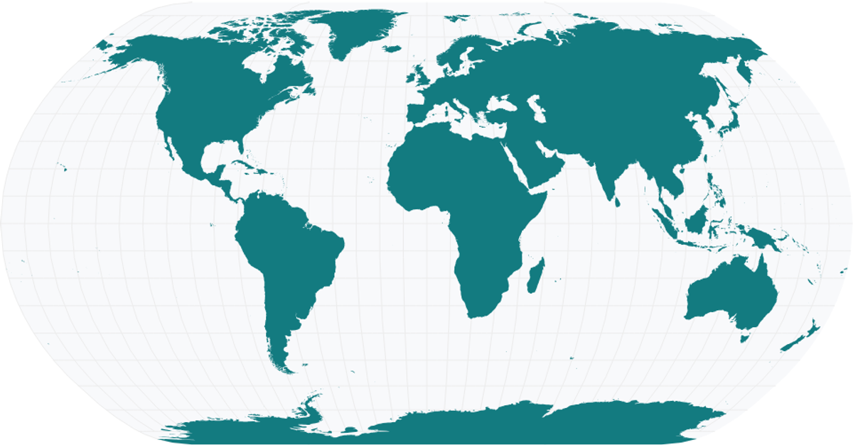
This interactive web application presents two geographic visualizations: a world map and a map of Australian states. Using D3.js version 7 and the TopoJSON library, the application loads GeoJSON data from remote URLs, projects it via `d3.geoConicEqualArea` and `d3.geoNaturalEarth1`, and renders the maps as SVG paths. The Australian map colors each state and displays its name as a tooltip on hover, while the world map uses uniform gray fills with darker strokes for country boundaries.
AI-generated descriptionMIT Licensed



Comments
Sign in to join the discussion.