🌍 Public
Fork of Polished World Map
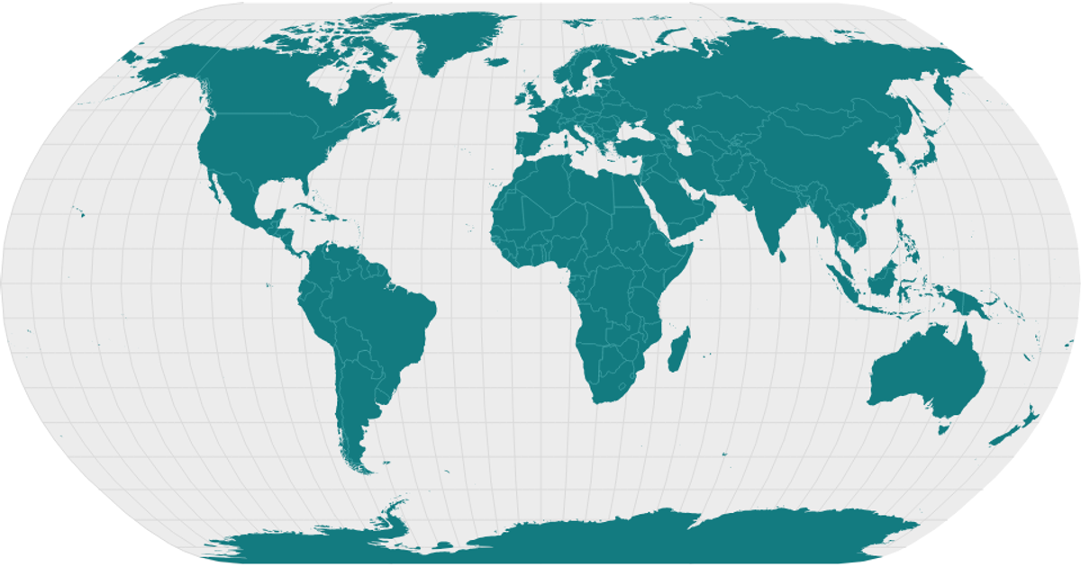
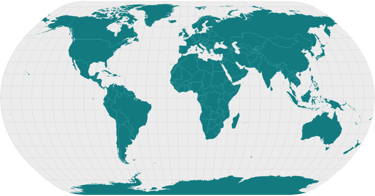
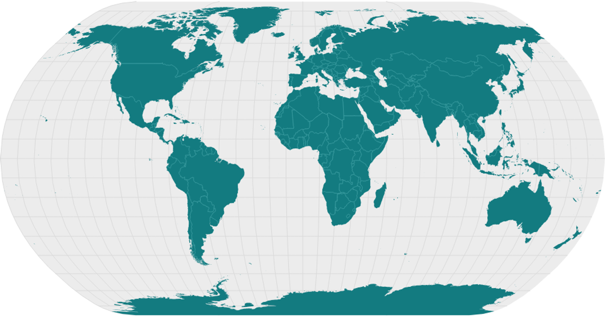
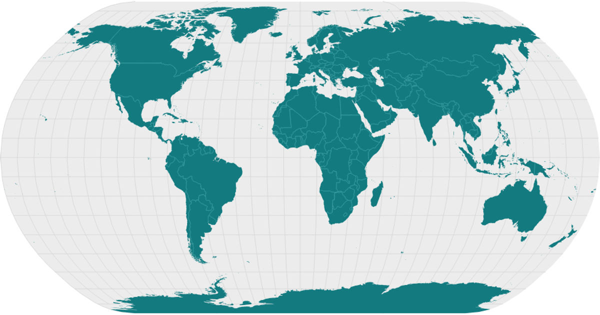
This example shows a polished world map rendered as an SVG, with landmasses filled in teal, graticules in light gray, and country borders drawn as thin lines. It loads country boundaries from the World Atlas TopoJSON dataset and converts them into GeoJSON features using the `topojson.feature` and `topojson.mesh` APIs. The map is projected with `d3.geoNaturalEarth1` and drawn using `d3.geoPath`, while a React component structure handles the rendering and data-fetching logic.
AI-generated descriptionMIT Licensed




Comments
Sign in to join the discussion.