🌍 Public
ICE8-Maps Using TopoJson
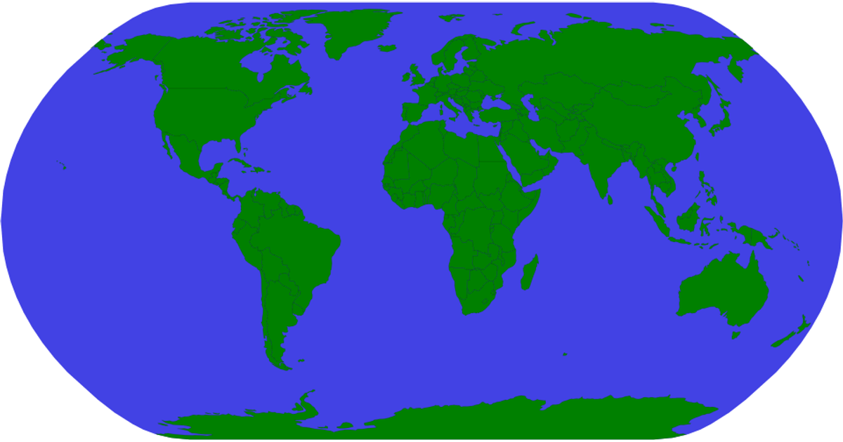
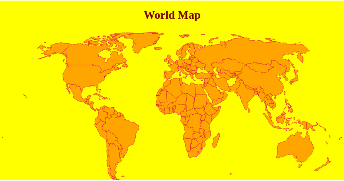
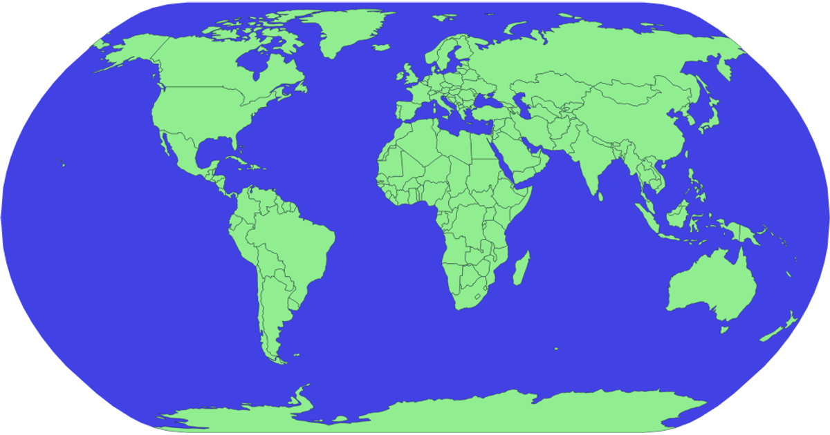
This example uses d3.geoPath and d3.geoNaturalEarth1 to render a world map from TopoJSON data loaded from the world-atlas package. Countries appear as golden shapes with green strokes, while a blue sphere layer shows the Earth’s surface. The map is drawn as SVG, with the topojson.feature API converting the TopoJSON topology into GeoJSON features for rendering.
AI-generated descriptionMIT Licensed


Comments
Sign in to join the discussion.