🌍 Public
TRy 1
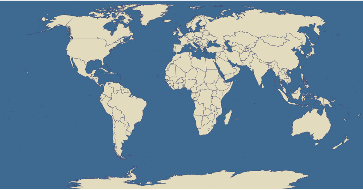
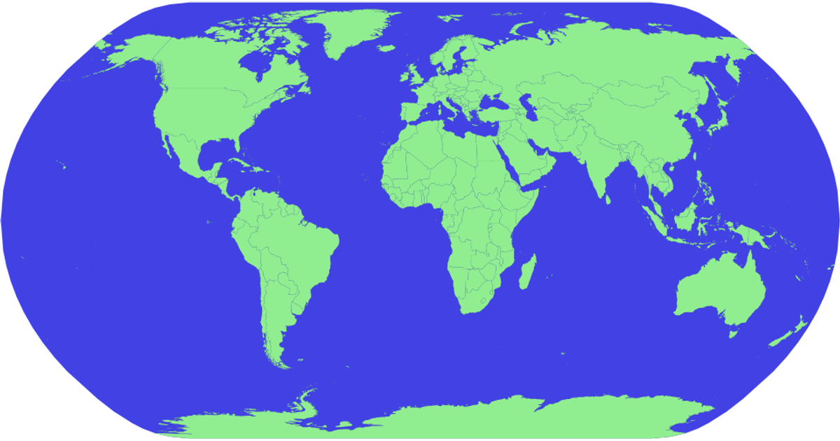
This visualization shows a world map rendered as SVG paths, with each country filled in light green and outlined in black against a blue sphere background. It uses d3.geoNaturalEarth1 projection and d3.geoPath to draw the geographic features, loading TopoJSON data from the world-atlas dataset. Countries are clickable, though the click handler currently only stores the selected country ID without triggering any visual update.
AI-generated descriptionMIT Licensed





Comments
Sign in to join the discussion.