🌍 Public
TRy 1
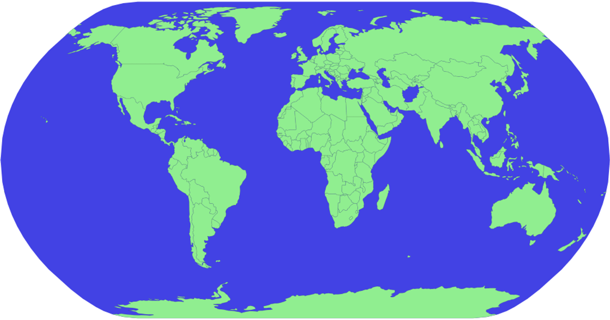
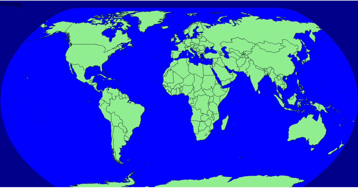
This example displays a world map using a spherical projection, with countries rendered as green polygons against a blue ocean background. It shows geographic boundaries and allows user interaction by clicking on a country, which logs the country ID to the console. The visualization is built with the D3 library, using `d3.geoPath` and `d3.geoNaturalEarth1` for projection, and TopoJSON's `feature` function to process country data from the world-atlas 110m GeoJSON source.
AI-generated descriptionMIT Licensed


Comments
Sign in to join the discussion.