🌍 Public
Quadtree Panning & Zooming on Canvas
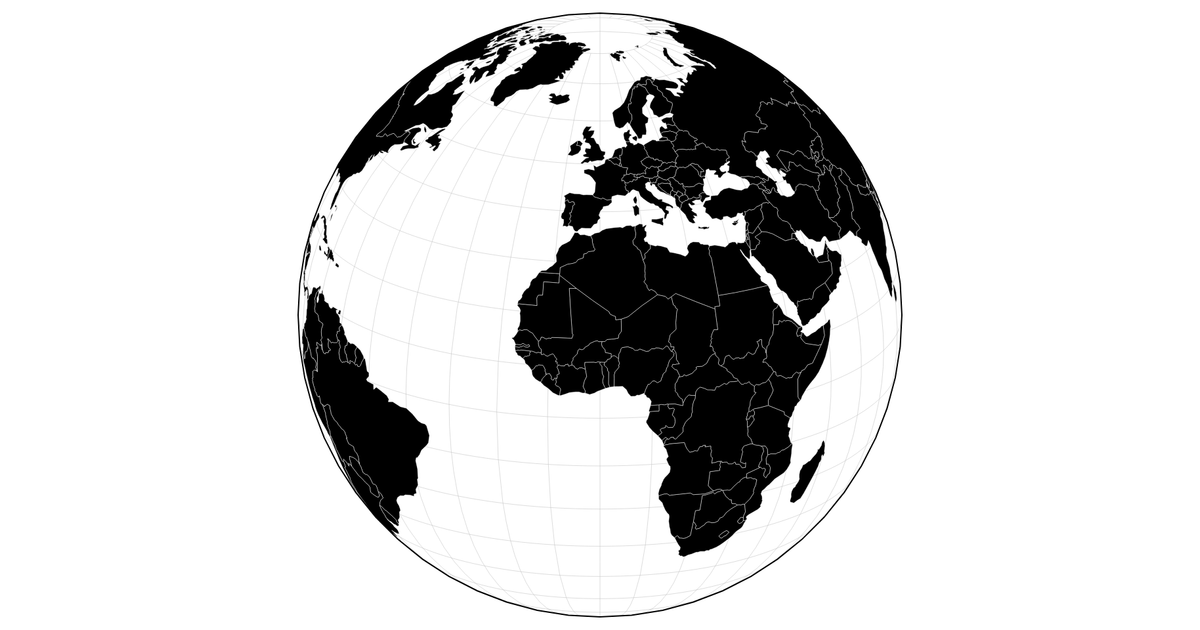
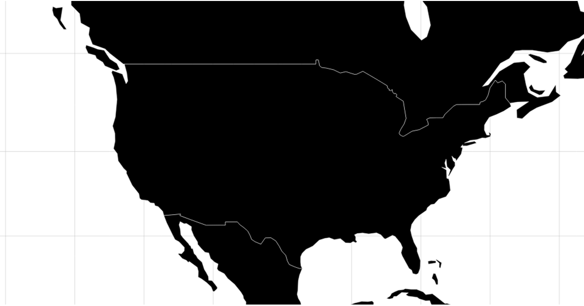
A canvas-based map of world countries renders with a graticule, while a quadtree dynamically subdivides a grid of coordinate points based on zoom level. The D3 quadtree traversal projects each cell and colors visible subdivisions using a sequential scale only when they form a regular grid. Panning and zooming via d3.zoom updates the projection transform, triggering redraws that intersect quadtree cells with the viewport, showing how spatial indexing adapts resolution to map scale.
AI-generated descriptionInspired by Observable: Zoomable Raster & Vector
MIT Licensed





Comments
Sign in to join the discussion.