🌍 Public
Map
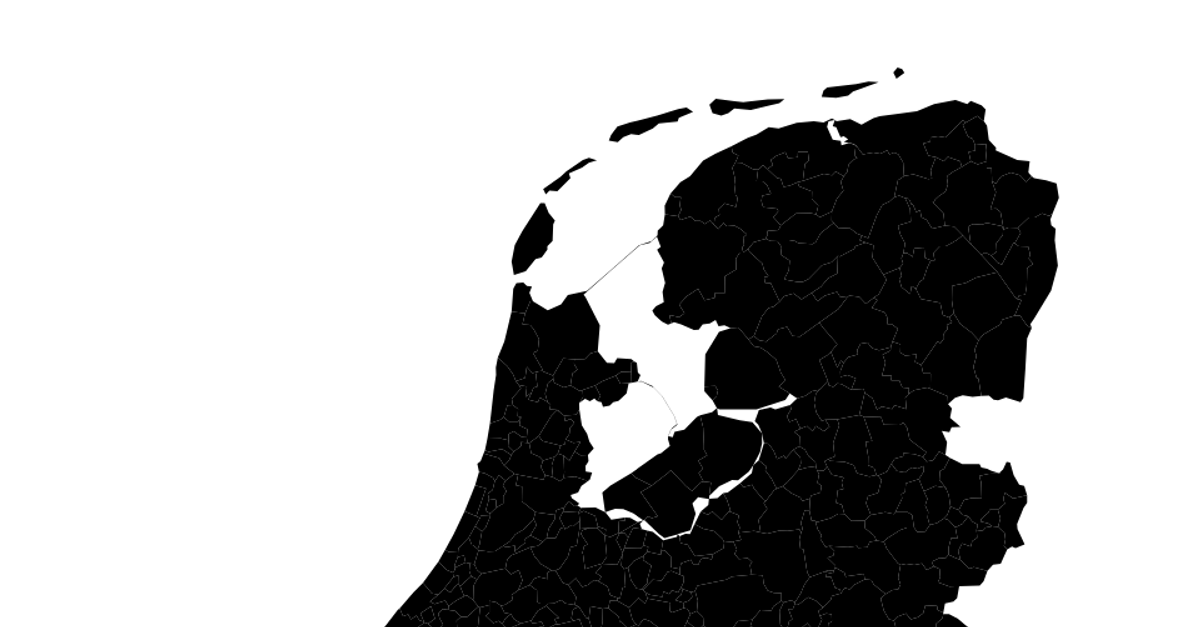
This example displays a map of Dutch municipalities using an equirectangular-like natural Earth projection. It loads geospatial data from a public WFS endpoint using `d3.json` and renders each township as an SVG path with `d3.geoPath` and `d3.geoNaturalEarth1`. The visualization simply draws the geographic boundaries without interactive features.
AI-generated descriptionMIT Licensed




Comments
Sign in to join the discussion.