🌍 Public
Fork of Cheap Tricks for Interaction
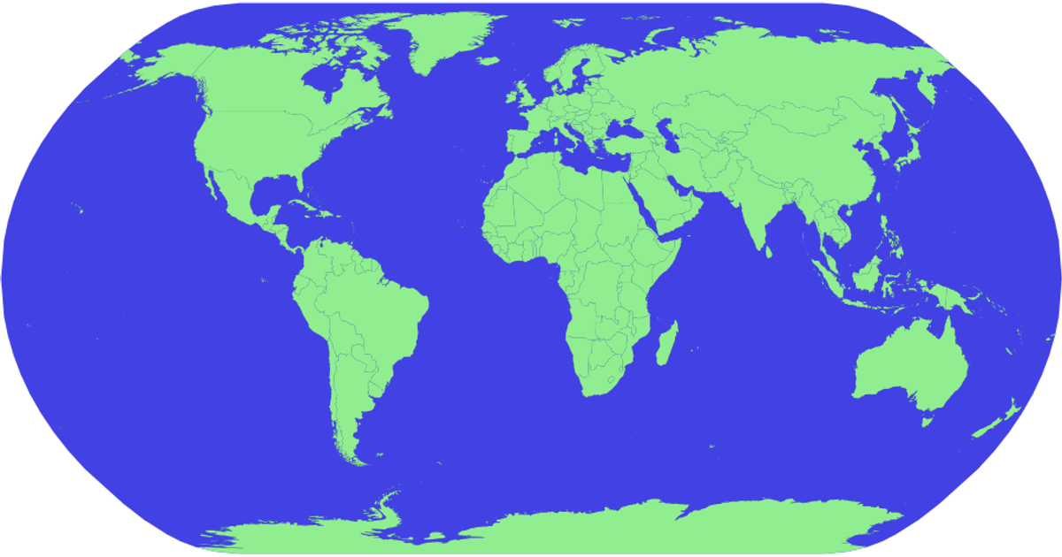
This interactive map displays world countries with a natural Earth projection, allowing users to pan and zoom. The visualization uses D3.js (v5) with the `geoPath` and `geoNaturalEarth1` projections from d3-geo, while the topojson library converts country boundaries for rendering. Hovering highlights each country in red, with country names from the world-atlas 50m dataset shown as tooltips. The SVG rendering includes a blue sphere backdrop and light green country polygons.
AI-generated descriptionMIT Licensed




Comments
Sign in to join the discussion.