🌍 Public
D3 World Map II
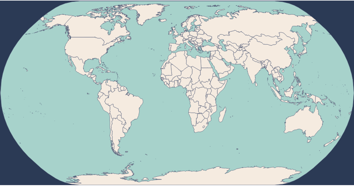
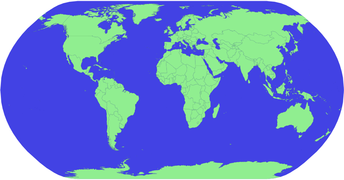
This world map displays country boundaries with a natural Earth projection, transitioning from light green to red on hover while showing country names via tooltips. Built with D3 v7 and TopoJSON, it uses d3.geoNaturalEarth1 and d3.geoPath to render SVG paths from world-atlas data, loading geometry and name mappings from JSON and TSV files.
AI-generated description- Highlighting on Hover using CSS
- Adding simple tooltips using 'title' tag
- Loading multiple data files
- Looking up country name from id
MIT Licensed




Comments
Sign in to join the discussion.