🌍 Public
Fork of Swedish map
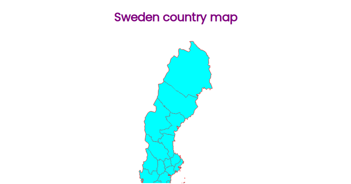
This visualization displays the counties of Sweden as an SVG map, rendered with a Mercator projection fitted to the geographic bounds of the country. County boundaries appear in teal with lighter interior borders, created using the `geoPath` and `feature`/`mesh` APIs from D3 v5 and TopoJSON. The data comes from a simplified Swedish counties GeoJSON file, loaded asynchronously via `d3.json` and integrated into a React component structure. The map is static, showing only geographic outlines without additional data encodings.
AI-generated descriptionA scatter plot of Data Canvas Sense Your City Dataset.
MIT Licensed


Comments
Sign in to join the discussion.