🌍 Public
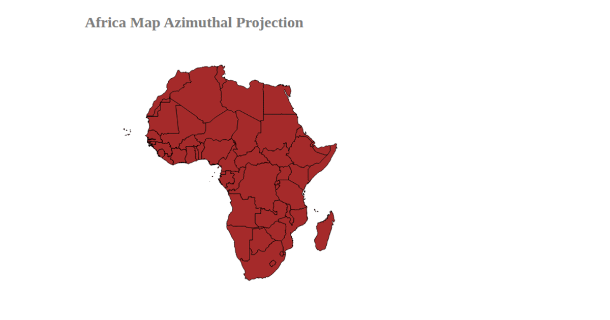
Fork of visualizing the Africa map
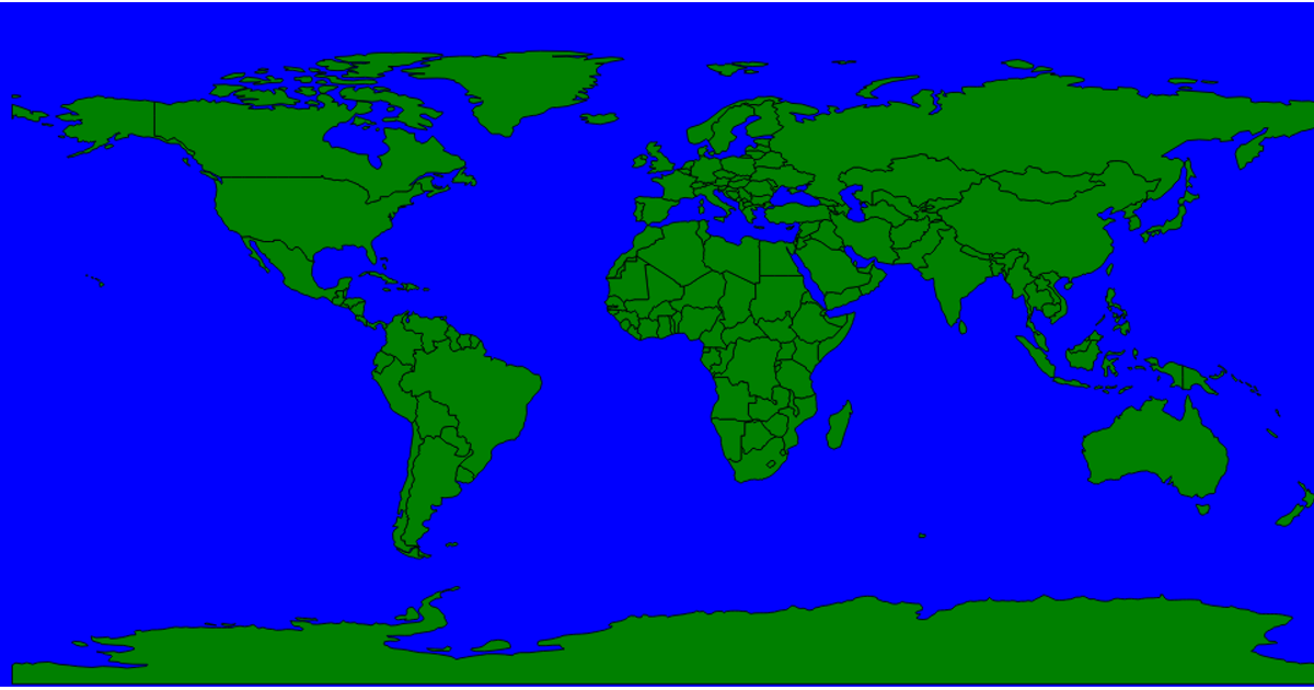
This example displays a map of African countries, rendered as orange SVG paths with black borders on a sky-blue background. It uses d3.geoNaturalEarth1 for projection and d3.geoPath with a d3.geoTransform to render simplified TopoJSON data loaded from a GitHub gist. The map redraws on window resize, adjusting the projection via fitExtent to fit the updated viewport dimensions. The code applies topojson.presimplify to prepare the geographic data before rendering.
AI-generated descriptionVisualizing the country map of Africa using d3.js resources
MIT Licensed





Comments
Sign in to join the discussion.