🌍 Public
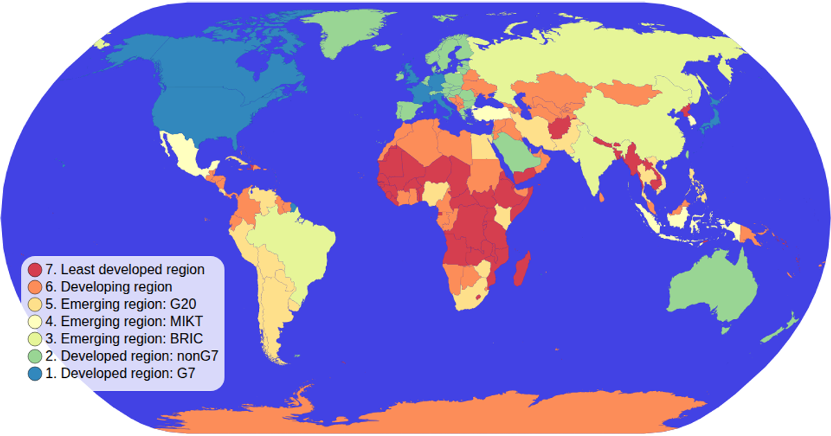
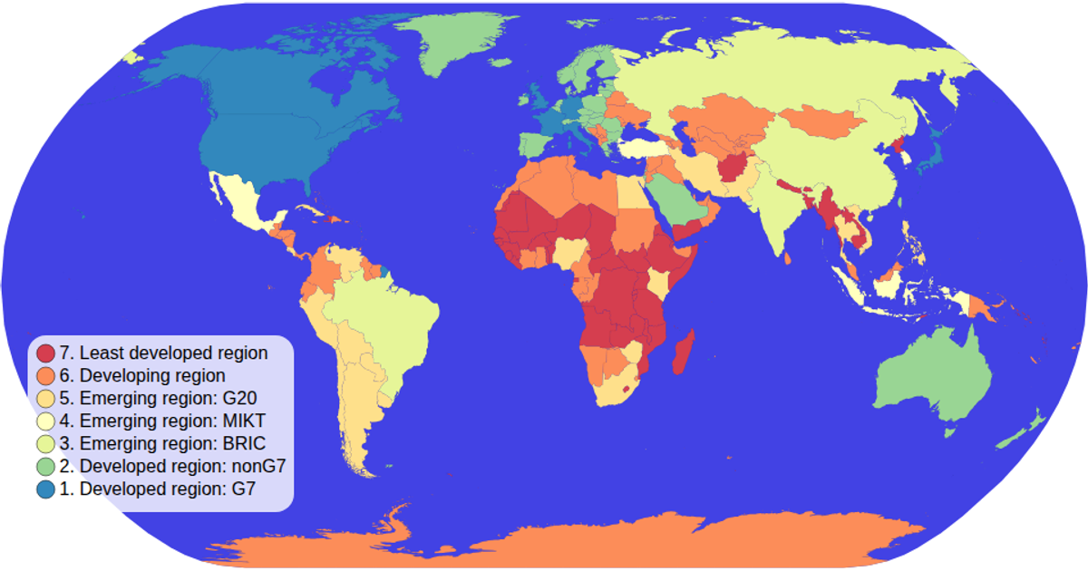
Choropleth map
A choropleth map colors countries by income group using a categorical color scale, with a hover effect that turns each country red and a tooltip showing the country name and income group. The visualization loads geographic data from the World Atlas TopoJSON and TSV files, processes it with `topojson.feature` and `d3.tsv`, and projects it using `d3.geoNaturalEarth1` and `d3.geoPath`. A custom legend built with `d3.scaleOrdinal` and `schemeSpectral` renders interactive color swatches, while `d3.zoom` enables panning and zooming on the SVG map.
AI-generated descriptionAn example showing the capabilities of VizHub.
MIT Licensed




Comments
Sign in to join the discussion.