🌍 Public
Fork of NYC Borough map
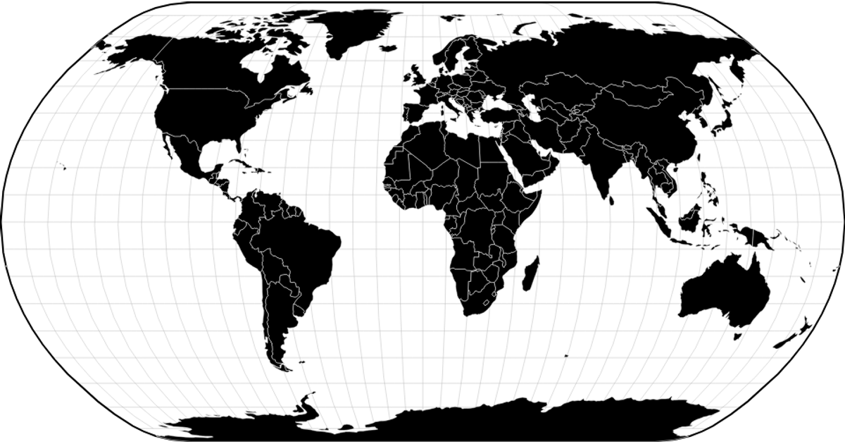
A responsive world map renders country boundaries from a TopoJSON file fetched from the visionscarto-world-atlas package, converted to GeoJSON via `feature` from `topojson-client`. The React app manages viewport-size state and passes the data to a separate `viz` module, which builds the visualization using `d3.geoNaturalEarth1`, `d3.geoPath`, and `d3.geoGraticule`. Countries fill with a light gray and white strokes overlaid on a graticule grid and outline, all rendered as SVG paths.
AI-generated descriptionMIT Licensed



Comments
Sign in to join the discussion.