🌍 Public
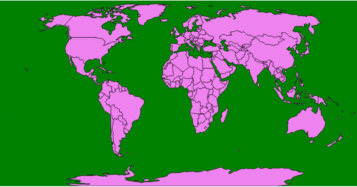
World Map
This visualization displays a world map using a Robinson projection. The map is rendered as a single SVG path, with countries derived from the world-atlas TopoJSON dataset. The code converts the TopoJSON data to GeoJSON using the topojson-client, then projects it with d3.geoRobinson and generates the path with d3.geoPath. The final SVG is sized at 960 by 500 pixels and appended directly to the page body.
AI-generated descriptionMIT Licensed






Comments
Sign in to join the discussion.