🌍 Public
Fork of Worldwide Missionary Movement - Gerardo Alexander Tapia Mayhuire, Coordinator of GO Arequipa English Service. Visual Analytics Project to analyze the countries and population (Recomendation System, Computer Cience, UNSA)
AAlexTapiaM
Last edited Mar 9, 2021
Created on Mar 9, 2021
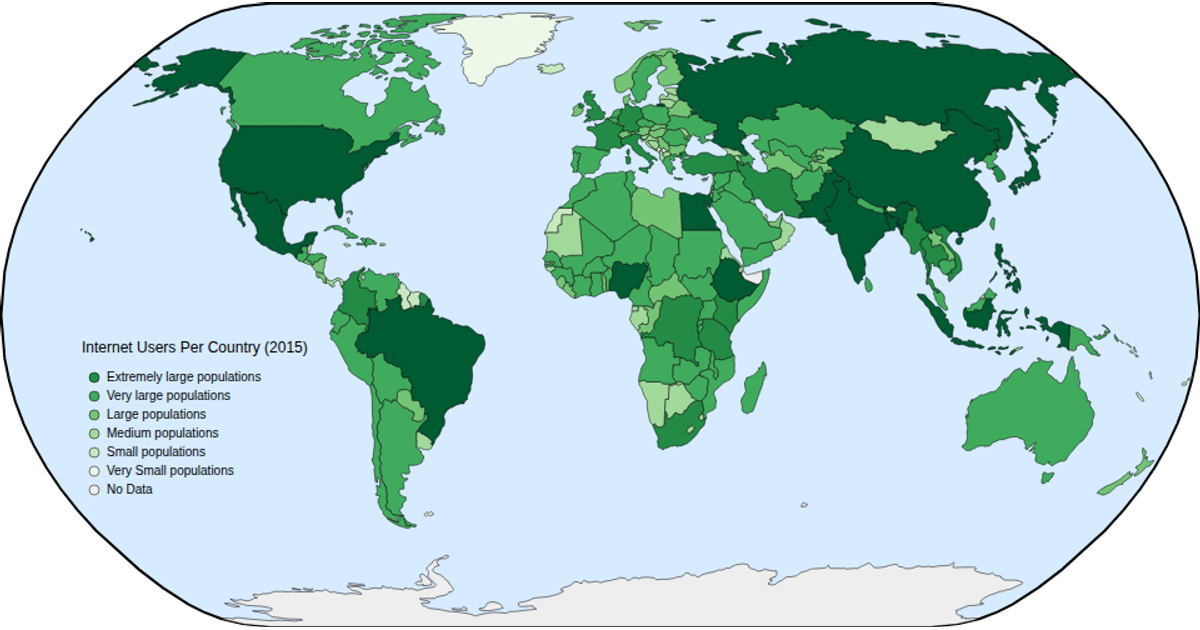
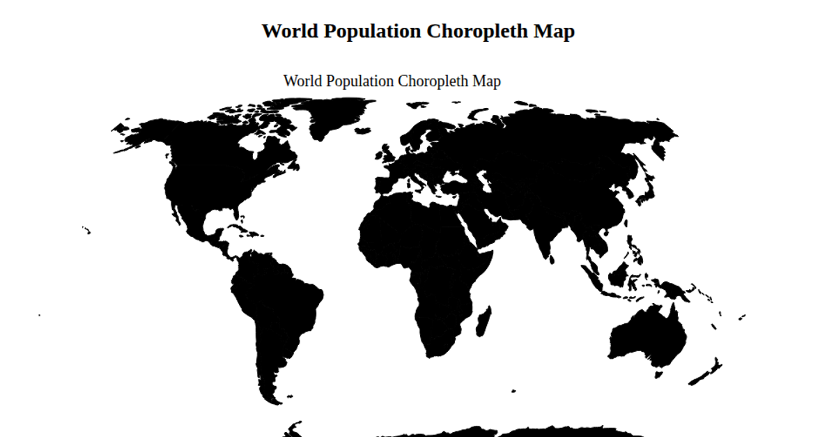
This visualization displays worldwide populations and countries on an interactive map using a natural Earth projection. Hovering over a country reveals its name and estimated population in millions, sourced from world-atlas TSV data. The map is rendered using D3 v6's geoPath and geoNaturalEarth1 projections, with zoom functionality enabled via d3.zoom. TopoJSON features are loaded to create country boundaries, and the choropleth-like styling uses CSS hover effects to highlight selected regions.
AI-generated descriptionMIT Licensed




Comments
Sign in to join the discussion.