🌍 Public
Cheap Tricks for Map Interaction
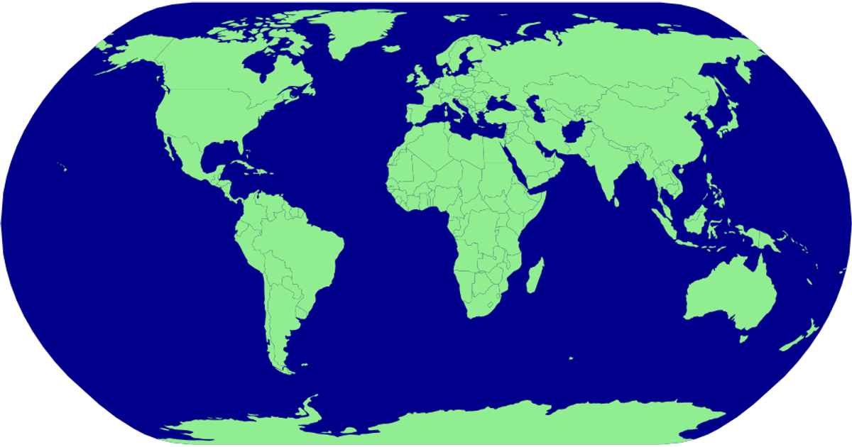
This example demonstrates map interaction with a zoomable world map that highlights countries on hover. Using D3 v6 and TopoJSON, it renders a natural Earth projection with green country polygons against a blue sphere. The visualization applies d3.zoom for pan and zoom transformations, while CSS hover states change country fills to red. Country names are loaded from a tab-separated values file via Promise.all with the TopoJSON data from the world-atlas package.
AI-generated descriptionMIT Licensed




Comments
Sign in to join the discussion.