Add something new (will be continue..)
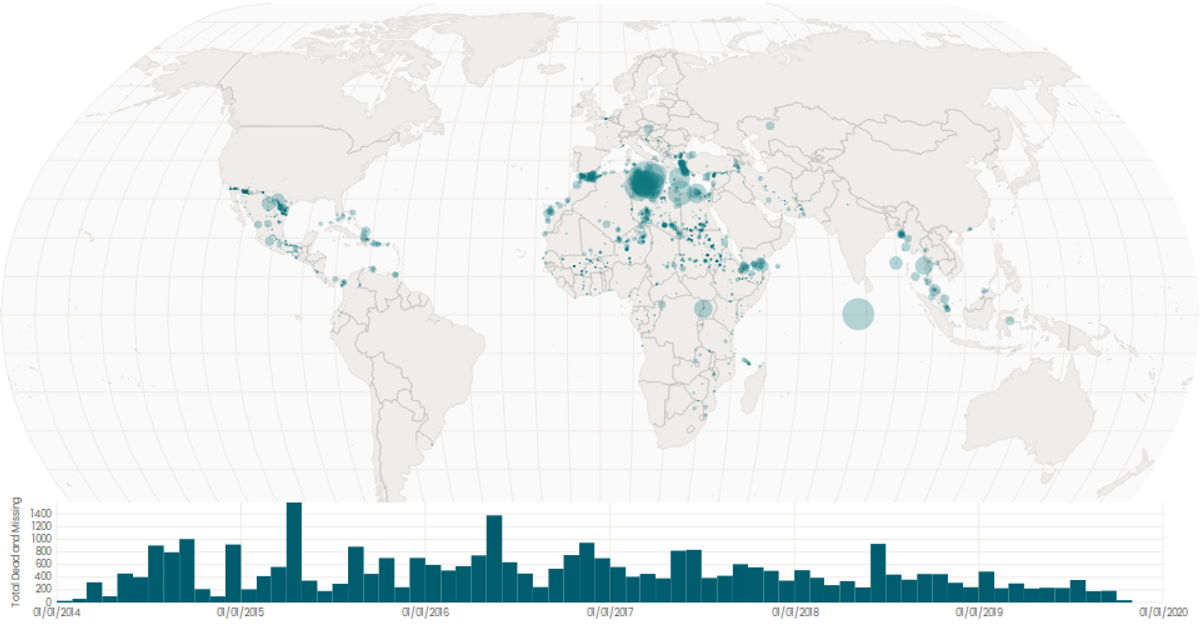
This interactive visualization combines a bubble map and a time-series histogram to explore global publication trends from 1996 to 2022. The map displays countries colored by publication totals using a sequential blue scale, with circles sized proportionally to publication counts via `scaleSqrt`. A brush on the histogram filters the map by date range, dynamically updating the displayed data. Built with React and D3 v5, it uses `geoNaturalEarth1` projection, `geoPath`, and `geoCentroid` for geographic rendering, alongside `brushX` for interactive filtering.
AI-generated descriptionA world map showing cities with population greater than 50,000. City data from Simplemaps: World Cities Database.
Country boundaries from World Atlas TopoJSON, polished for visual style, including graticules.
This iteration is optimized for performance using React's useMemo hook.




Comments
Sign in to join the discussion.