🌍 Public
Raja Yaswanth Varma Vegesna 11640007
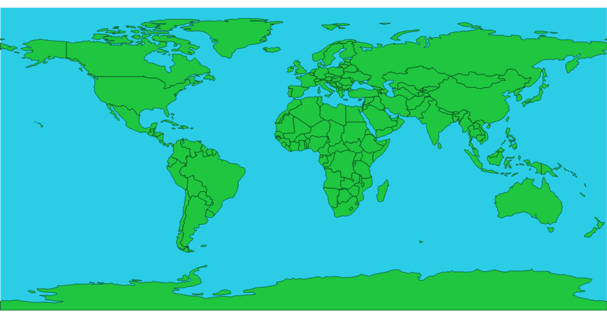
This example displays an interactive world map using an equirectangular projection, with countries filled in yellow and hover states shown in gray. The visualization loads geographic boundaries from a TopoJSON file via `d3.json` and converts them to GeoJSON features using the `feature` method from TopoJSON. It renders the map with `d3.geoEquirectangular` and `d3.geoPath`, appending SVG paths for both the Earth sphere and country outlines. A CSS hover rule changes country fill colors without additional JavaScript.
AI-generated descriptionMIT Licensed




Comments
Sign in to join the discussion.