🌍 Public
ICE-08 11603435
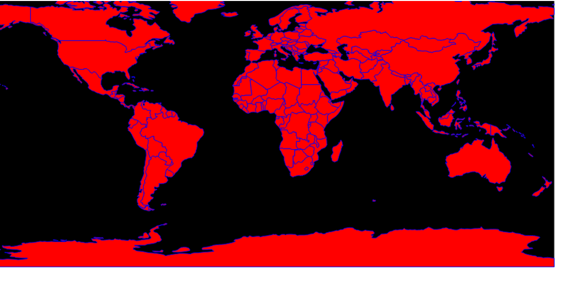
This visualization displays a world map using an equirectangular projection, with countries rendered as black-filled paths against a blue ocean sphere. It loads geospatial data from the world-atlas TopoJSON file and converts it to GeoJSON using the `feature()` method from TopoJSON. The D3 v5 code employs `geoEquirectangular()`, `geoPath()`, and `.projection()` to generate the map geometry. Countries change to a red color on hover through a CSS `:hover` rule, and the SVG output is fixed at 960 by 500 pixels.
AI-generated descriptionMIT Licensed




Comments
Sign in to join the discussion.