🌍 Public
Fork of Map-likitha
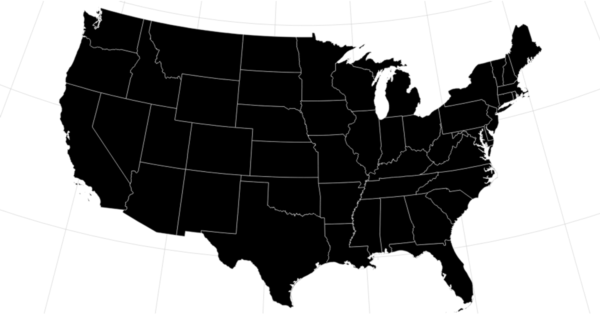
This visualization displays two static reference maps from TopoJSON sources: a Natural Earth projection world map and an Albers USA projection map of the United States. The world map renders countries as blue paths over a graticule grid, while the US map shows states in green. Both maps use `d3.geoPath` with projected geometry from the `world-atlas@2` and `us-atlas@3` datasets, loading GeoJSON via `d3.json` and converting features with the `topojson-client` library.
AI-generated descriptionMIT Licensed




Comments
Sign in to join the discussion.