🌍 Public
Tree-diagram_ice8
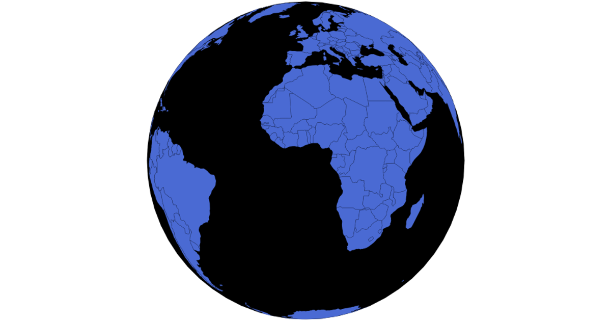
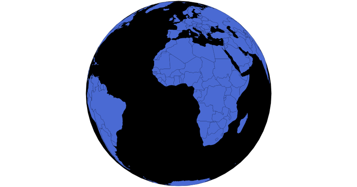
This interactive world map renders country boundaries using D3’s `d3.geoPath` with topojson data from world-atlas. Users can click any country to switch between orthographic and Mercator projections, while dragging rotates the globe. The visualization also supports zooming via `d3.zoom` and includes a graticule overlay. Country names are loaded from a TSV file, and hover effects highlight individual nations.
AI-generated descriptionMIT Licensed


Comments
Sign in to join the discussion.