🌍 Public
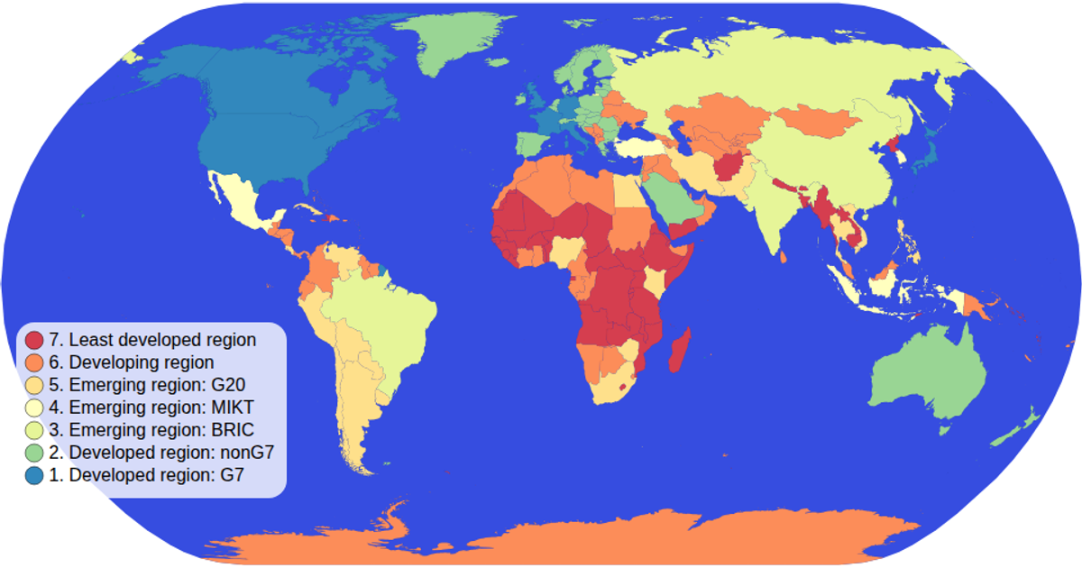
Choropleth Map with interactive filtering
This choropleth map uses D3’s geoNaturalEarth1 projection and geoPath to render world countries, colored by an ordinal spectral scale based on economic data from the World Atlas datasets. A color legend with clickable circles filters the map, dimming non-selected countries and the sphere. The visualization supports zooming via D3’s zoom handler, applying transformations to the map group.
AI-generated descriptionMIT Licensed


Comments
Sign in to join the discussion.