🌍 Public
DV_ICE8 USA Country Map
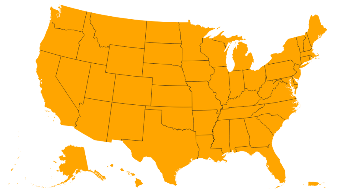
This interactive SVG map displays all 50 US states as pink regions with white borders, using a hover effect that changes the fill color to orange. Built with React and D3 v5, it applies the `geoAlbersUsaTerritories` projection via `d3.geoPath` to render geographic features from a TopoJSON dataset sourced from `us-atlas`. The data pipeline uses TopoJSON’s `feature` and `mesh` functions to generate land and interior boundaries, which are then drawn as SVG paths within a 960×600 viewport.
AI-generated descriptionMIT Licensed




Comments
Sign in to join the discussion.