New York State Educational Attainment Map
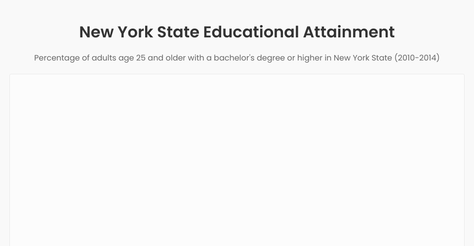
This visualization shows a choropleth map of educational attainment across counties in New York State. The map displays the percentage of adults age 25 and older with a bachelor's degree or higher in each county.
Data is sourced from USDA Economic Research Service (2010-2014).
Features
- Interactive choropleth map focused solely on New York State
- Tooltip displaying county-specific information
- Color legend showing the data range
- Responsive design for various screen sizes
MIT Licensed