New York State Map
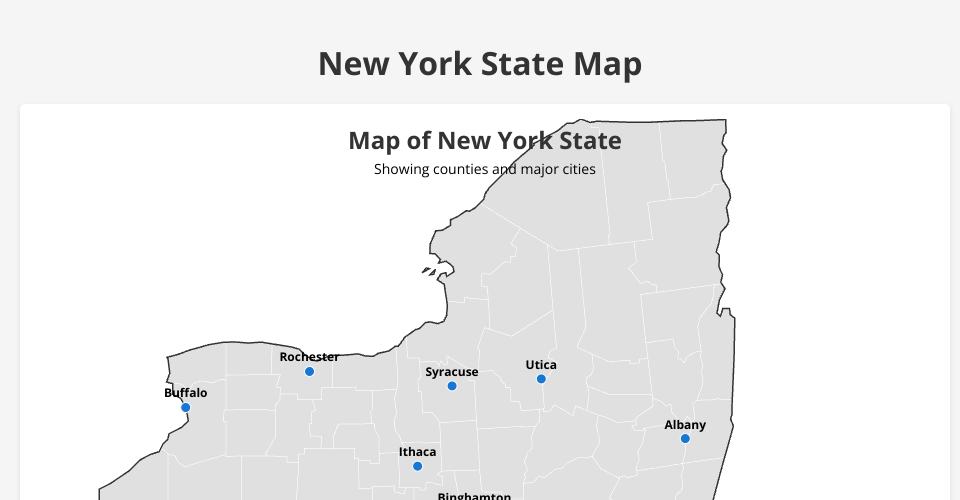
This project displays an interactive map of New York State with county boundaries and major cities.
Features
- Visualization of all New York State counties
- Major cities marked with labels
- Interactive elements with hover effects on counties
- Responsive design that works on different screen sizes
Implementation Details
The map is built using:
- D3.js for data visualization
- TopoJSON for geographical data
- Modern JavaScript techniques
Usage
Simply open the index.html file in a web browser to view the map.
MIT Licensed