Texas State Map
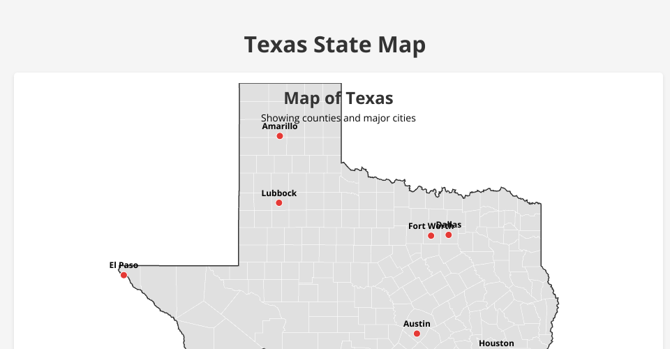
This is an interactive map of Texas created using D3.js.
Features
- Displays Texas state boundary
- Shows county boundaries with different color shades
- Highlights major cities with markers and labels
- Interactive tooltips show county information
- Responsive design that works on various screen sizes
Technologies Used
- HTML5
- CSS3
- JavaScript
- D3.js (Data-Driven Documents)
- TopoJSON for geographical data
Usage
Open the index.html file in a modern web browser to view the map.
Data Sources
- US-Atlas TopoJSON files for state and county boundaries
MIT Licensed