🌍 Public
Its finally working
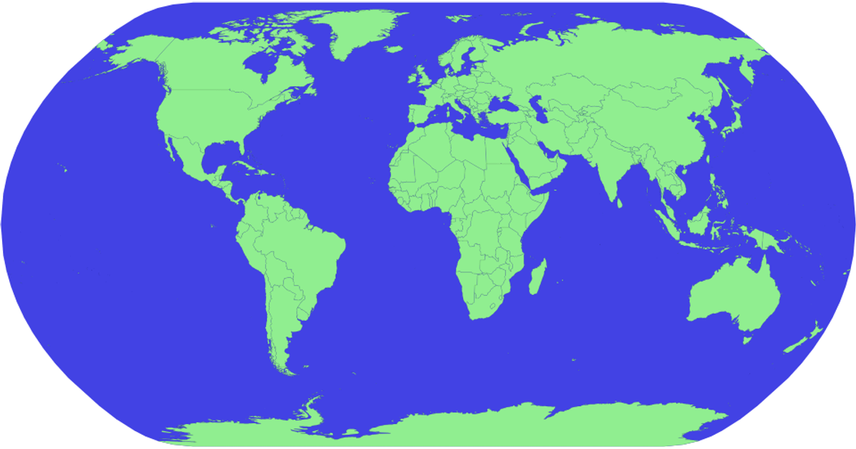
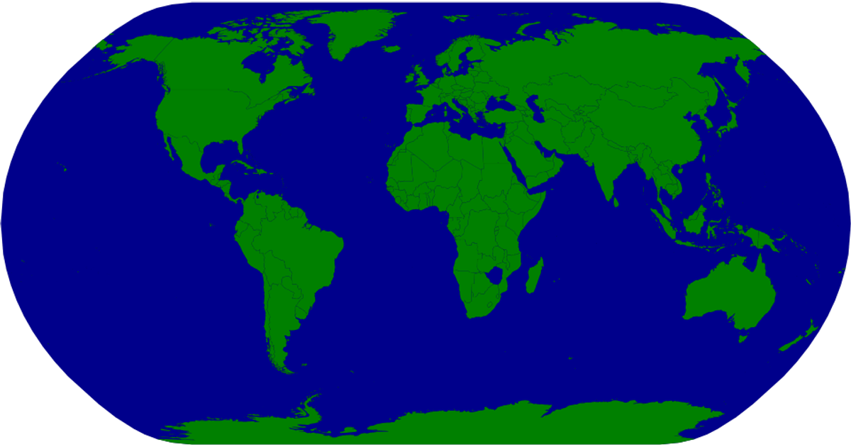
This interactive map colors countries red by default, turning a clicked country green. Built with D3 v5 and TopoJSON, it loads world geographic data from the world-atlas package and renders it as SVG paths via a `geoNaturalEarth1` projection. Click handlers on each country path trigger a re-render, updating the fill based on the selected country's name from the TSV metadata.
AI-generated descriptionClick the countries and turn them colors!
MIT Licensed




Comments
Sign in to join the discussion.