🌍 Public
Arion's first map
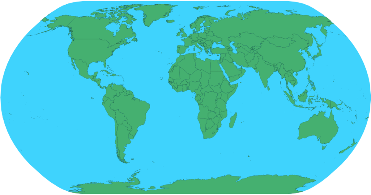
This example shows an interactive world map rendered as SVG, where hovering over a country highlights it in red and displays its name as a tooltip. It uses d3.geoNaturalEarth1 for projection, d3.geoPath for generating country boundaries, and d3.zoom for panning and zooming. The map is built from topojson data loaded via d3.json from the world-atlas package, with country names matched from TSV data using d3.tsv. Plain JavaScript enables the hover effect via CSS selectors.
AI-generated descriptionA bare minimum HTML page.
See also React Starter.
MIT Licensed


Comments
Sign in to join the discussion.