🌍 Public
Fork of Polished World Map
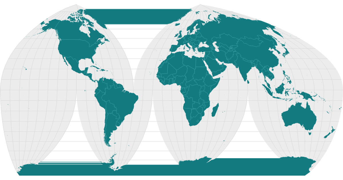
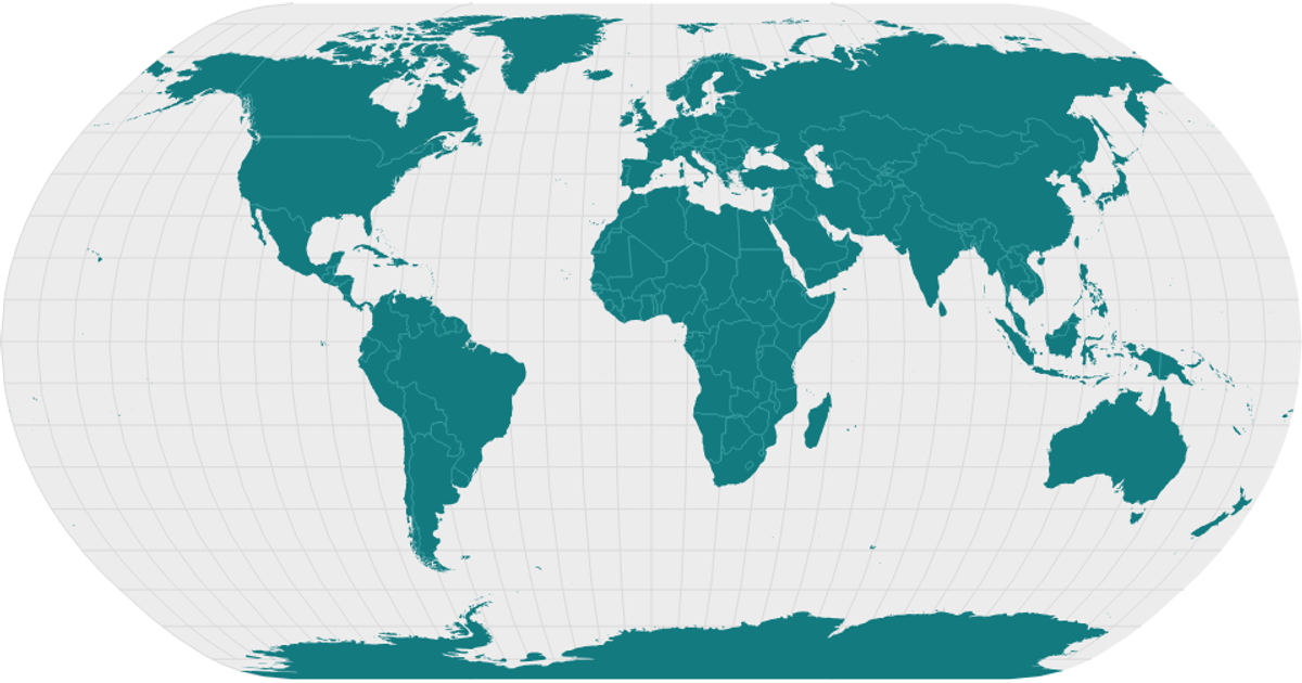
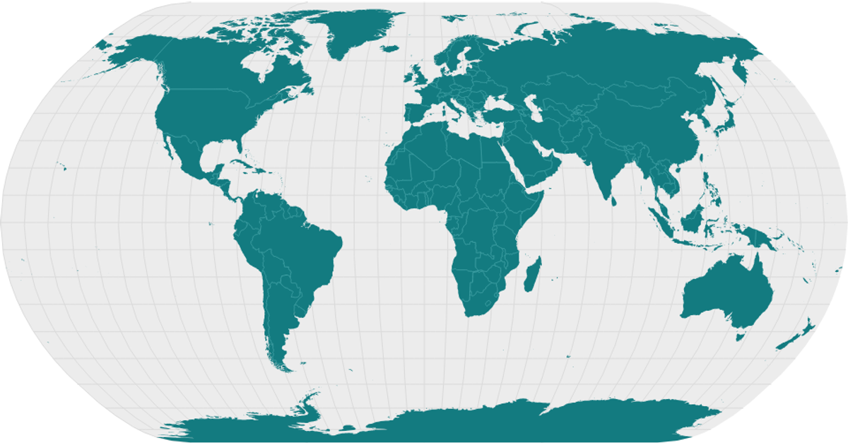
This fork of a polished world map displays country boundaries, graticules, and interior borders using a Mercator projection. The map is rendered as an SVG and shows landmasses in teal with a light sphere background. The code builds the visualization with React and D3, using `d3.geoMercator`, `d3.geoPath`, and `d3.geoGraticule` to project and draw the shapes. It loads data from the World Atlas TopoJSON source, converting it with the `topojson` library’s `feature` and `mesh` functions to extract land and interior boundaries.
AI-generated descriptionA world map showing country boundaries from World Atlas TopoJSON, polished for visual style, including graticules.
MIT Licensed



Comments
Sign in to join the discussion.