🌍 Public
Cheap Tricks for Interaction
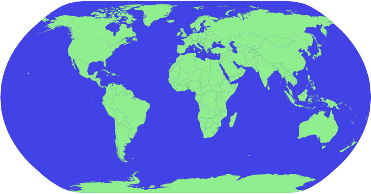
This example shows an interactive world map built with D3 v5, rendered as an SVG using the equirectangular projection. It combines zoom and pan controls with a hover effect that highlights individual countries in yellow. The implementation uses `d3.zoom` for the zoom/pan behavior and `d3.geoPath` for rendering geographical features from TopoJSON data. Custom functions calculate zoom limits and transitions, allowing users to smoothly zoom into specific countries or regions while maintaining boundaries within the viewport.
AI-generated descriptionMIT Licensed





Comments
Sign in to join the discussion.