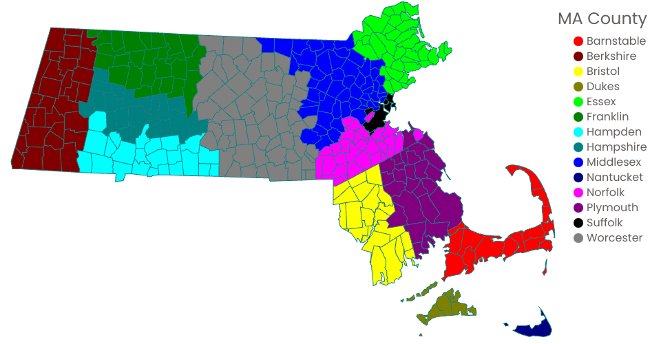
This Map show county boundry of Massachusetts
Geo Shape file are from here
The download Shape file did not contain coordination. Therefore, it is first converted to geojson by ogr2ogr
Geojson then reprocessed by mapshaper to Topojson.
Topojson file is loaded to Github gist
City to County map csv is loaded to gist
legend is added and make it interactive with mouse movement
MIT Licensed