🌍 Public
World Map-Sushil
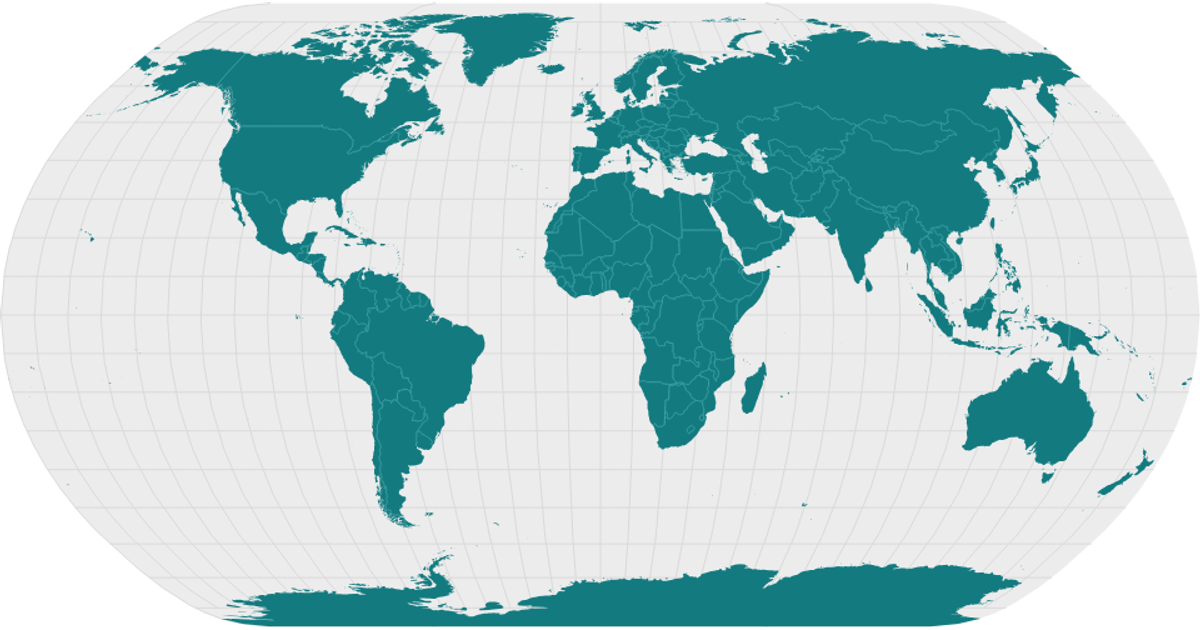
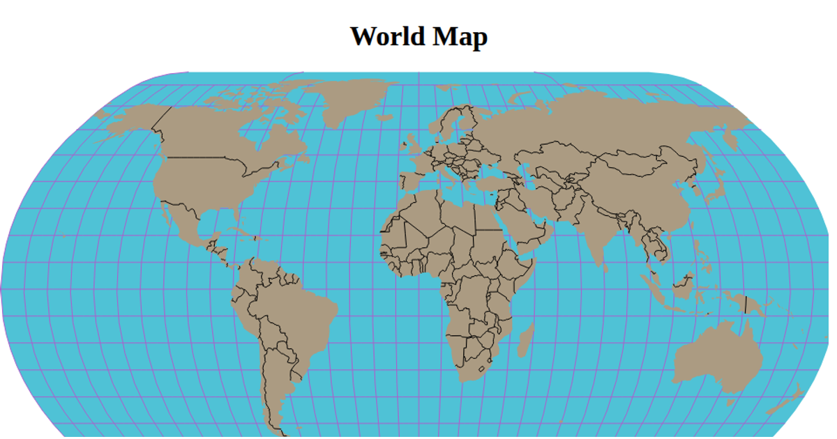
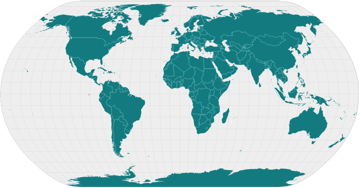
This example displays a world map with country boundaries rendered as SVG paths, using a natural Earth projection and a light, polished color scheme. The visualization shows landmasses in teal, graticules in gray, and interior country borders, all set against a light sphere background. The code uses `geoNaturalEarth1`, `geoPath`, and `geoGraticule` from D3 v5, with TopoJSON data from the World Atlas repository. It loads the topology via `json`, converts it using `feature` and `mesh`, and renders the map through React components.
AI-generated descriptionA world map showing country boundaries from World Atlas TopoJSON, polished for visual style, including graticules.
MIT Licensed





Comments
Sign in to join the discussion.