🌍 Public
Cheap tricks interactions _ example
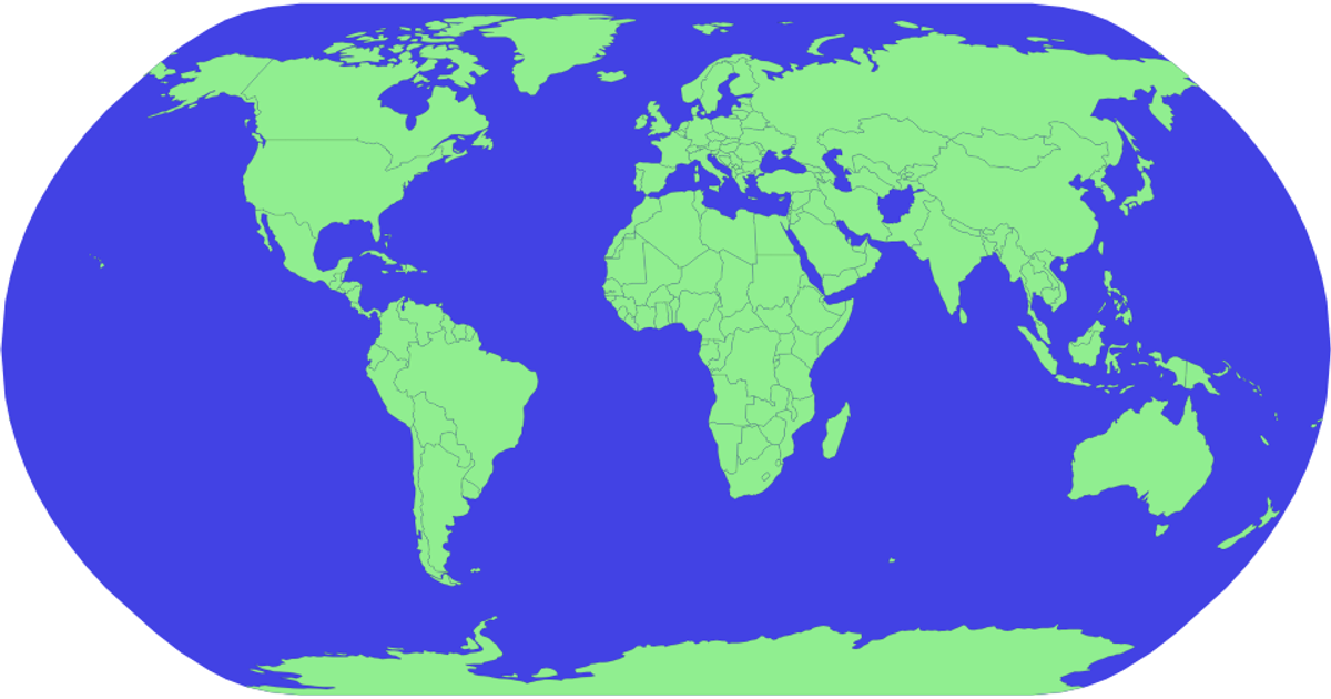
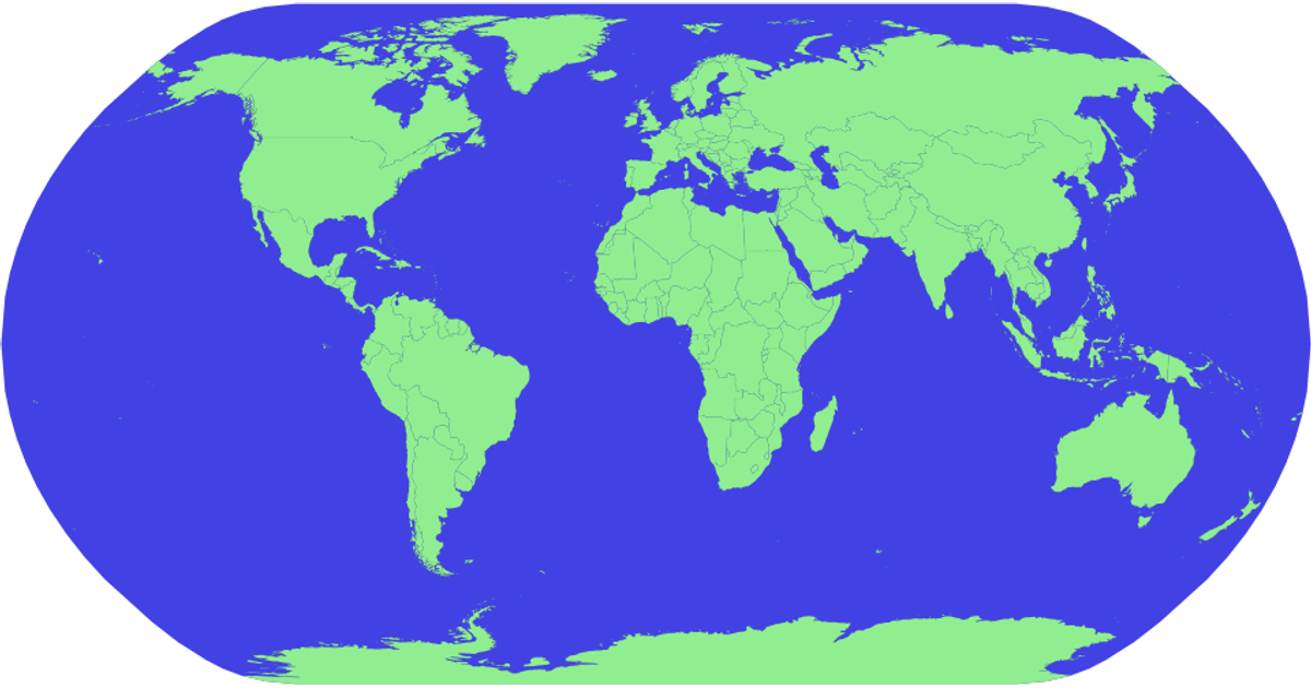
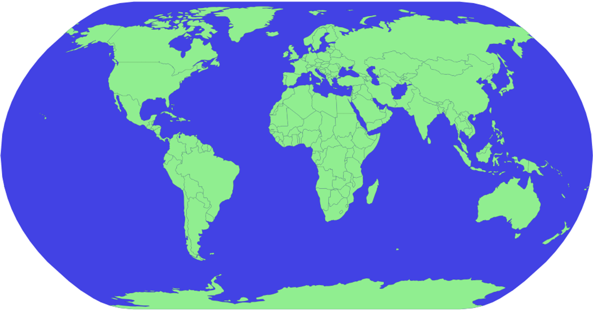
This example displays a world map using D3 version 5.6 with countries filled in light green. When the mouse hovers over a country, the map updates that country's fill color to red, while a blue sphere in the background represents the globe. The visualization uses the `d3.geoPath` and `d3.geoNaturalEarth1` projection, with country data loaded from the World Atlas TopoJSON source. Styling relies on CSS `:hover` states applied to SVG paths.
AI-generated descriptionMIT Licensed



Comments
Sign in to join the discussion.