🌍 Public
leaflet-map-csv
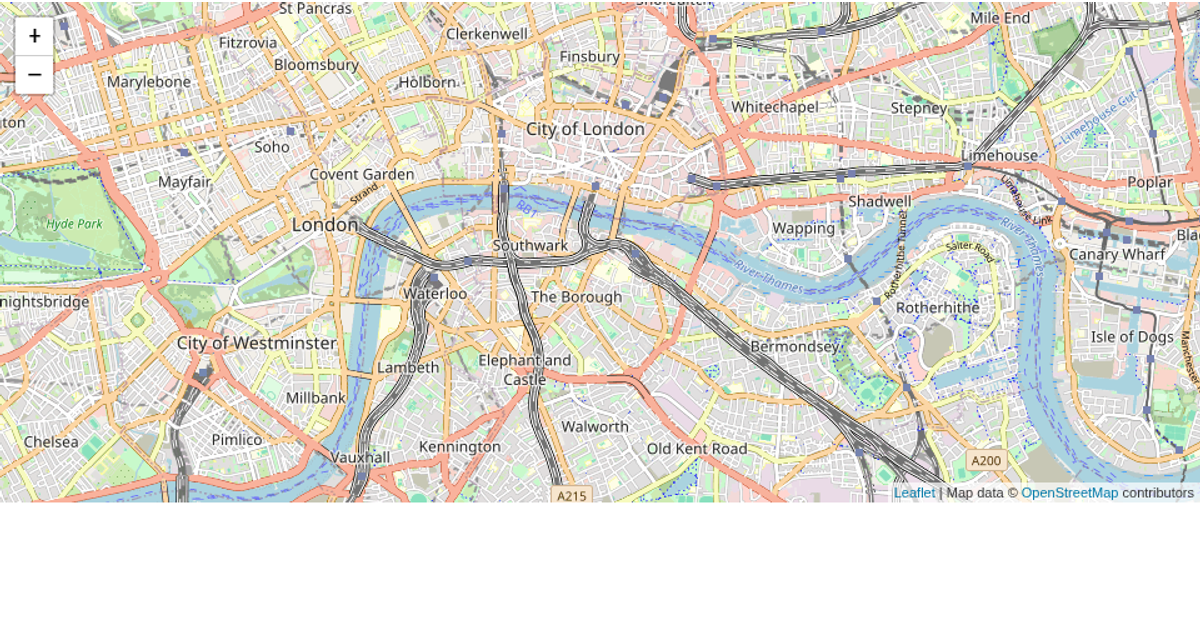
This example displays crime locations on an interactive map of Rupnagar, India, using a CSV file containing latitude, longitude, police station, and place of occurrence. The map reads the CSV with PapaParse and jQuery, then plots each row as a Leaflet marker whose popup shows the police station name. Users can toggle between two base layers—Carto Light and Stamen Terrain—via a control panel in the top-right corner.
AI-generated descriptionA bare minimum HTML page.
See also React Starter.
MIT Licensed


Comments
Sign in to join the discussion.