🌍 Public
Fork of Fork of ice8-vignesh
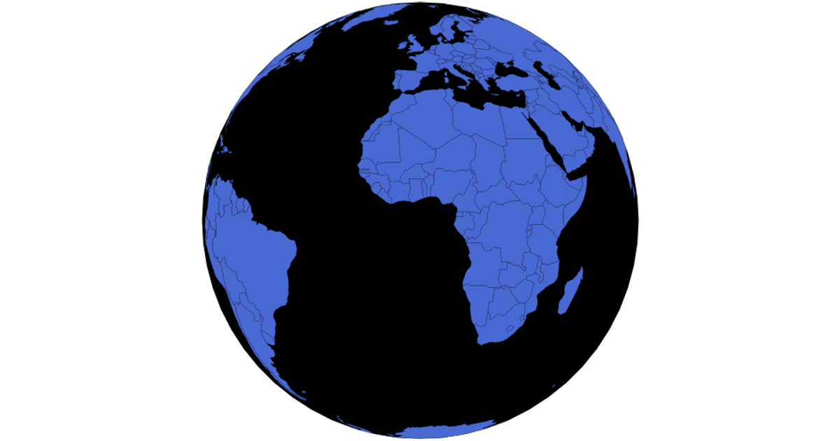
This visualization presents an interactive world map built with D3 and TopoJSON, letting users explore countries through an orthographic projection that can be rotated by dragging. Clicking the United States switches the map to a Mercator projection, while clicking any other country returns it to the orthographic view. The code uses `d3.geoPath` for rendering, `d3.drag` for rotation, `d3.zoom` for scaling, and loads country boundaries from the World Atlas TopoJSON dataset with names from a TSV file. SVG paths with CSS hover effects display the geographic features.
AI-generated descriptionMIT Licensed



Comments
Sign in to join the discussion.