🌍 Public
country map
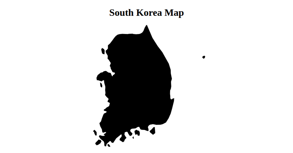
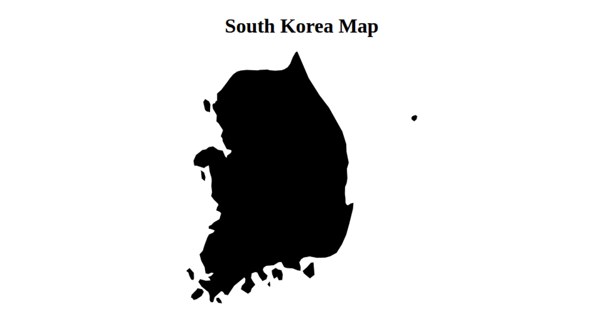
This choropleth-style map displays the regions of South Korea, with each province filled in coral and separated by black boundary lines. The visualization uses a React front end with D3’s geoNaturalEarth1 projection and geoPath to render the geographic shapes from a TopoJSON file. Data is fetched via d3.json and processed with topojson.feature and topojson.mesh, and the map is drawn as inline SVG elements.
AI-generated descriptionMap of England with geographical regions defined
MIT Licensed



Comments
Sign in to join the discussion.