🌍 Public
egg world
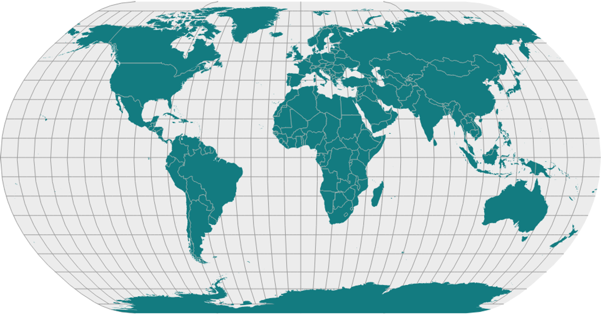
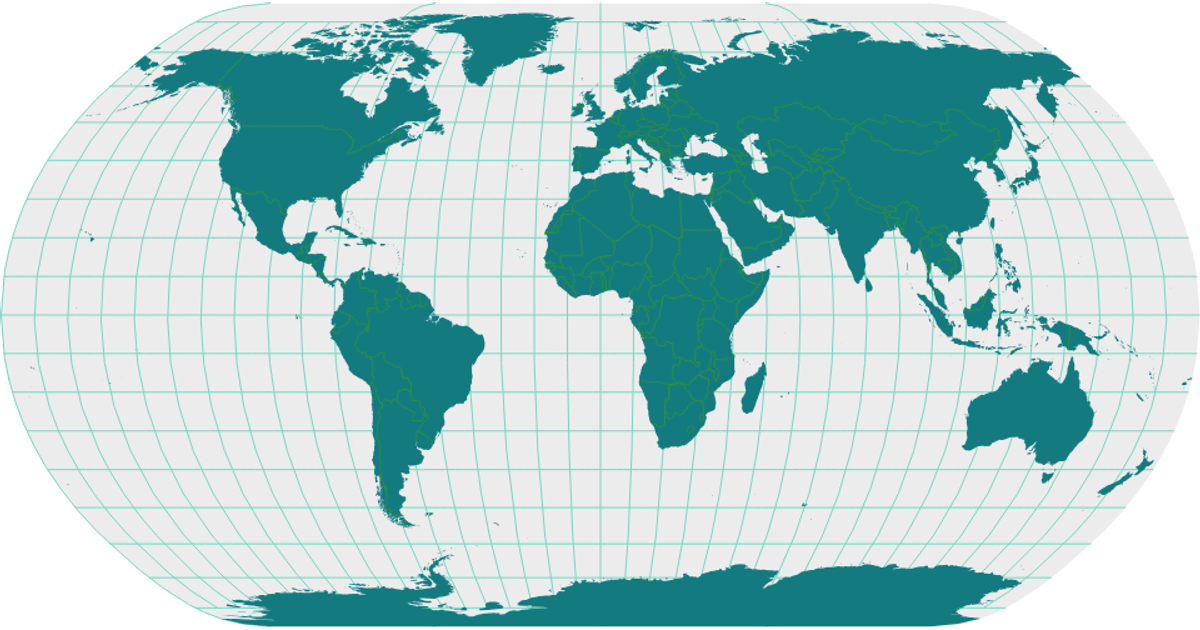
This map shows countries, land masses, graticules, and geographic lines from the World Atlas TopoJSON and Natural Earth datasets. The map uses D3's `geoNaturalEarth1` projection rotated with `rotate([270,90,0])`, and renders via `geoPath` in SVG. Countries are filled with a translucent color, while the sphere and graticules are drawn, and a `mesh` provides interior boundaries. Hovering over a country reveals its name via an SVG `<title>` tooltip.
AI-generated descriptionA world map showing country boundaries from World Atlas TopoJSON, polished for visual style, including graticules.
MIT Licensed



Comments
Sign in to join the discussion.